Chest opened
+${chestReward.xp} XP
Explorer
NOUVEAU ×${chestReward.collectible.quantity}
tapez pour fermer

See the monuments around you in AR Open chests in the app

Around Us is built for your phone — point your camera at the streets and discover the monuments and places around you in augmented reality. Around Us is built for your phone — chests unlock when you walk, explore and capture nearby places.

Enable Location

We need your location to show you interesting places around you

Discover nearby places

Find interesting locations and hidden gems around you

Precise directions

Get accurate directions and distances to places

Your location is never shared with other users. It's only used when you tap the location button.

Optima Lake

Log in to your account

Start exploring — it's free

Trusted by 84,903 travelers worldwide

Continue with Google
Continue with Apple
or

We will send you a code to connect

By continuing, you accept our Terms and Conditions and our Privacy Policy

Check your inbox

We've sent a pincode in your inbox. Please enter the code below.

Optima Lake
Discussion Reviews 1 Photos
10.9k Popularity

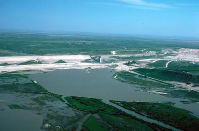
Optima Lake, Lake and federal wildlife refuge in Texas County, Oklahoma, US.

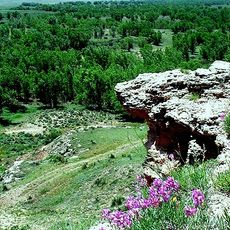
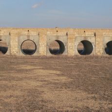
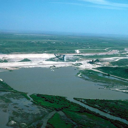
Optima Lake is a reservoir near the Beaver River in the Texas County area of Oklahoma. The site includes public hunting land and a federal wildlife refuge where visitors can observe wildlife.

The dam was completed in 1978 as part of a water management project for the region. The development reflected broader efforts to address agricultural challenges that farmers had faced after the 1930s.

The region experienced substantial changes in agricultural practices following the 1930s Dust Bowl, leading farmers to implement water retention methods and no-till farming.

The water level here is quite low, so swimming, boating, and fishing are not available. Visitors should focus on land-based activities and bring sturdy shoes and sun protection.

The reservoir was built with major funding but never filled to its intended capacity due to declining water flow from the Beaver River. This makes it an example of the challenges in water storage for this semi-arid landscape.

The community of curious travelers

AroundUs brings together thousands of curated places, local tips, and hidden gems, enriched daily by 60,000 contributors worldwide.
Start exploring
Location
GPS coordinates
36.66594,-101.13679
Latest update
August 29, 2026 21:54
Around this place
Lake Meredith
United States of America

Lake Meredith

69.8 mi
Woo Cheong Pawn Shop
China

Woo Cheong Pawn Shop

68.4 mi
Dalton Gang Hideout and Museum
United States of America

Dalton Gang Hideout and Museum

61.3 mi
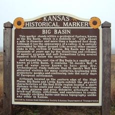
Big Basin Prairie Preserve
United States of America

Big Basin Prairie Preserve

74.5 mi
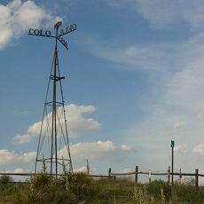
8 Mile Corner
United States of America

8 Mile Corner

55 mi
Wagon Bed Spring
United States of America

Wagon Bed Spring

52.3 mi
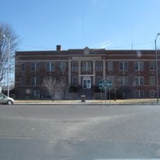
Cimarron County Courthouse
United States of America

Cimarron County Courthouse

76.4 mi
Point of Rocks
United States of America

Point of Rocks

53.7 mi
Franklin Hall
United States of America

Franklin Hall

28.1 mi
Fowler Swimming Pool and Bathhouse
United States of America

Fowler Swimming Pool and Bathhouse

72.1 mi
Stonington First Methodist-Episcopal Church
United States of America

Stonington First Methodist-Episcopal Church

72.6 mi
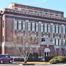
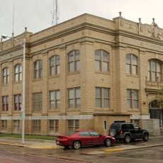
Texas County Courthouse
United States of America

Texas County Courthouse

19.1 mi
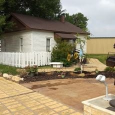
Dorothy's House and Land of Oz
United States of America

Dorothy's House and Land of Oz

28.4 mi
Morton County WPA Bridge
United States of America

Morton County WPA Bridge

61.7 mi
Roberts County Courthouse
United States of America

Roberts County Courthouse

72.9 mi
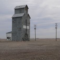
Hooker Woodframe Grain Elevator
United States of America

Hooker Woodframe Grain Elevator

14.5 mi
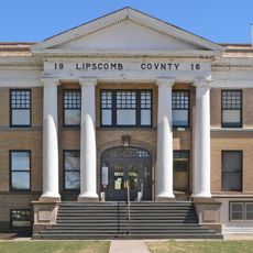
Lipscomb County Courthouse
United States of America

Lipscomb County Courthouse

56.7 mi
Grant County Courthouse District
United States of America

Grant County Courthouse District

64.4 mi
Gray County Courthouse
United States of America

Gray County Courthouse

78.7 mi
Pampa H2O Aquatic Center
United States of America

Pampa H2O Aquatic Center

77.7 mi
Pampa City Hall
United States of America

Pampa City Hall

78.8 mi
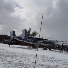
Freedom Museum USA
United States of America

Freedom Museum USA

78.6 mi
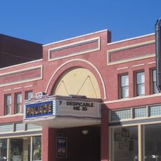
Palace Theatre
United States of America

Palace Theatre

66.8 mi
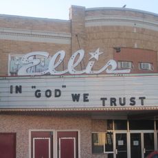
Ellis Theatre
United States of America

Ellis Theatre

26.3 mi
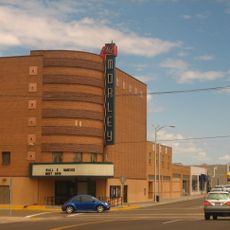
Morley Theatre
United States of America

Morley Theatre

70.1 mi
Lyric Cinema
United States of America

Lyric Cinema

32.4 mi
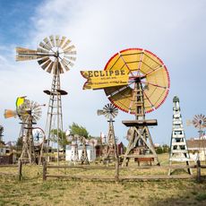
Shattuck Windmill Museum
United States of America

Shattuck Windmill Museum

75.1 mi
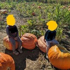
Meyer's Pumpkin Patch & Corn Maze
United States of America

Meyer's Pumpkin Patch & Corn Maze

73.1 mi
Show the full map
Reviews
Share your experience

No review yet

Discussions
Start a discussion...

No discussion yet

« Optima Lake - Lake and federal wildlife refuge in Texas County, Oklahoma, US » is provided by Around Us (aroundus.com). Images and texts are derived from Wikimedia project under a Creative Commons license. You are allowed to copy, distribute, and modify copies of this page, under the conditions set by the license, as long as this note is clearly visible.

Discover hidden gems everywhere you go!

From secret cafés to breathtaking viewpoints, skip the crowded tourist spots and find places that match your style. Our app makes it easy with voice search, smart filtering, route optimization, and insider tips from travelers worldwide. Download now for the complete mobile experience.
Around Us App Screenshot

A unique approach to discovering new places

Le Figaro

All the places worth exploring

France Info

A tailor-made excursion in just a few clicks

20 Minutes

Around Us
Travel Guide & Maps
Download

Send to your phone

QR Code
1

Open the camera app on your mobile.

2

Point at the QR code with your camera. A notification will appear.

3

Tap the notification to open the link.