
Carnegie, human settlement in Caddo County, Oklahoma, United States of America
Location: Caddo County
Inception: 1903
Elevation above the sea: 400 m
GPS coordinates: 35.10367,-98.60367
Latest update: April 8, 2025 19:58
Fort Sill
45.3 km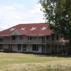
Quanah Parker Star House
52.3 km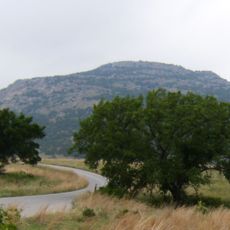
Mount Scott
40.5 km
Wichita Mountains Wildlife Refuge
38.5 km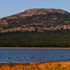
Lake Lawtonka
39.8 km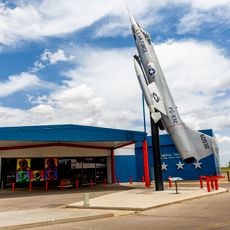
Stafford Air & Space Museum
49.4 km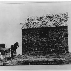
Signal Mountain Blockhouse
48.9 km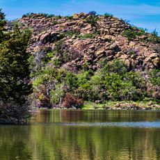
Great Plains State Park
50.3 kmFort Cobb
16.8 km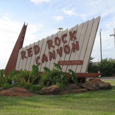
Red Rock Canyon State Park
44.8 km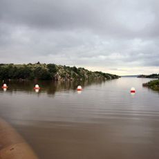
Tom Steed Reservoir
52 km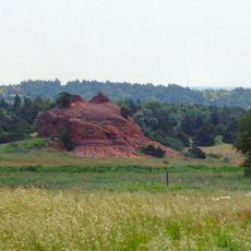
Rock Mary
42.8 kmCharon's Garden Wilderness Area
44.1 km
Southern Plains Indian Museum
34 km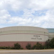
Museum of the Great Plains
57.2 km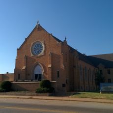
First Christian Church
58.7 km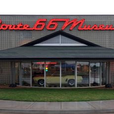
Oklahoma Route 66 Museum
56.8 km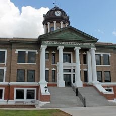
Washita County Courthouse
40.8 km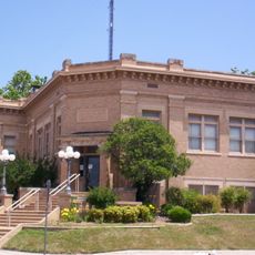
Carnegie Library
58.5 km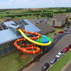
Water-Zoo Clinton Indoor Water Park
55.7 km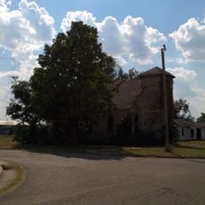
First Baptist Church
33.5 km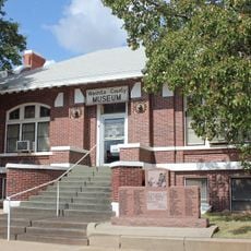
Cordell Carnegie Public Library
40.9 km
Urban Air Trampoline and Adventure Park
55.1 km
Hobart City Hall
45.4 km
Mahoney-Clark House
58.2 km
Elmer Thomas Park Splashpad
57.2 km
Holy City of the Wichitas Historic District
40.2 km
Shepler Square Park
58.4 kmVisited this place? Tap the stars to rate it and share your experience / photos with the community! Try now! You can cancel it anytime.
Discover hidden gems everywhere you go!
From secret cafés to breathtaking viewpoints, skip the crowded tourist spots and find places that match your style. Our app makes it easy with voice search, smart filtering, route optimization, and insider tips from travelers worldwide. Download now for the complete mobile experience.

A unique approach to discovering new places❞
— Le Figaro
All the places worth exploring❞
— France Info
A tailor-made excursion in just a few clicks❞
— 20 Minutes