Chest opened
+${chestReward.xp} XP
Explorer
NOUVEAU ×${chestReward.collectible.quantity}
tapez pour fermer

See the monuments around you in AR Open chests in the app

Around Us is built for your phone — point your camera at the streets and discover the monuments and places around you in augmented reality. Around Us is built for your phone — chests unlock when you walk, explore and capture nearby places.

•

Enable Location

We need your location to show you interesting places around you

Discover nearby places

Find interesting locations and hidden gems around you

Precise directions

Get accurate directions and distances to places

Your location is never shared with other users. It's only used when you tap the location button.

Mount Scott

Log in to your account

Start exploring — it's free

Trusted by 92,724 travelers worldwide

Continue with Google
Continue with Apple
or

We will send you a code to connect

By continuing, you accept our Terms and Conditions and our Privacy Policy

Check your inbox

We've sent a pincode in your inbox. Please enter the code below.

Mount Scott, Mountain summit in Wichita Mountains Wildlife Refuge, Oklahoma, US

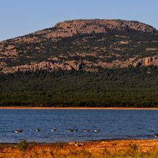
Mount Scott is a rounded mountain in the Wichita Mountains National Wildlife Refuge, rising to 2,464 feet (751 m) northwest of Lawton. A three-mile paved road winds to a summit parking area with scenic pullouts; the road is open to pedestrians and bicycles from 6 to 9:30 a.m. only. The summit is also popular for rock climbing, though no formal trails exist.

Mount Scott is named for General Winfield Scott, and the Comanche call it Pisaroya, "Big Mountain". During World War II the mountain was used to train artillery geodetic computers and candidates for the Army Survey School, who lived in tar paper barracks before shipping overseas. The refuge's proximity to Fort Sill means artillery fire can often be heard and mistaken for thunder.

The Comanche name Pisaroya, "Big Mountain", is recorded for the peak, which was named in honour of General Winfield Scott. Visitors today drive or cycle the paved road to the top, and the mountain is popular with rock climbers who use its numerous climbing areas, parking at the base to reach them.

Driving to the summit is straightforward, with a paved road reaching the parking area where multiple observation points are ready for use. Hiking trails on the mountain let visitors explore the area at their own pace and enjoy different viewpoints.

The summit road is open to pedestrians and bicycles only from 6am to 9:30am; motor vehicles use it at other times. Groups of more than eight walkers are not allowed on the paved road, and there are no blazed trails to the top.

The community of curious travelers

AroundUs brings together thousands of curated places, local tips, and hidden gems, enriched daily by 92,724 contributors worldwide.

Start exploring
Location
GPS coordinates
34.74451,-98.53200
Latest update
October 24, 2026 20:30
Around this place
Fort Sill
United States of America

Fort Sill

3.1 mi
Quanah Parker Star House
United States of America

Quanah Parker Star House

9.8 mi
Wichita Mountains Wildlife Refuge
United States of America

Wichita Mountains Wildlife Refuge

9.7 mi
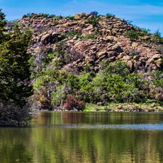
Lake Lawtonka
United States of America

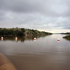
Lake Lawtonka

1.8 mi
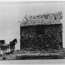
Signal Mountain Blockhouse
United States of America

Signal Mountain Blockhouse

5.4 mi
Great Plains State Park
United States of America

Great Plains State Park

25.8 mi
United States of America

Fort Cobb

25.8 mi
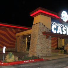
Comanche Nation Casino
United States of America

Comanche Nation Casino

13.2 mi
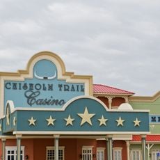
Chisholm Trail Casino
United States of America

Chisholm Trail Casino

34 mi
Tom Steed Reservoir
United States of America

Tom Steed Reservoir

26.1 mi
Apache Casino Hotel
United States of America

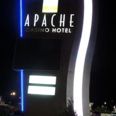
Apache Casino Hotel

13.6 mi
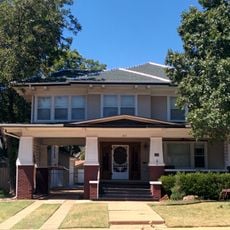
Mattie Beal House
United States of America

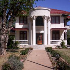
Mattie Beal House

12.9 mi
United States of America

Charon's Garden Wilderness Area

12.4 mi
Southern Plains Indian Museum
United States of America

Southern Plains Indian Museum

28.4 mi
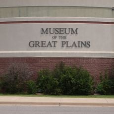
Museum of the Great Plains
United States of America

Museum of the Great Plains

11.6 mi
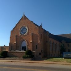
First Christian Church
United States of America

First Christian Church

12.3 mi
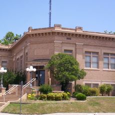
Carnegie Library
United States of America

Carnegie Library

12.3 mi
First Baptist Church
United States of America

First Baptist Church

28.5 mi
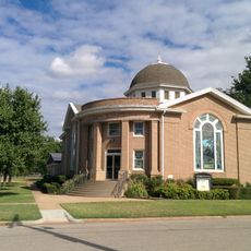
First United Methodist Church
United States of America

First United Methodist Church

29.5 mi
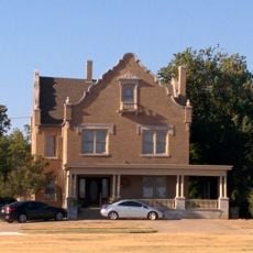
Brittain-Garvin House
United States of America

Brittain-Garvin House

36.6 mi
H.C. Chrislip House
United States of America

H.C. Chrislip House

36.1 mi
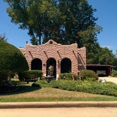
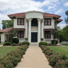
Mahoney-Clark House
United States of America

Mahoney-Clark House

12.1 mi
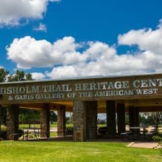
Chisholm Trail Heritage Center & Garis Gallery of the American West
United States of America

Chisholm Trail Heritage Center & Garis Gallery of the American West

35 mi
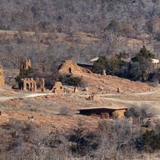
Holy City of the Wichitas Historic District
United States of America

Holy City of the Wichitas Historic District

3.4 mi
Historic Mattie Beal Home
United States of America

Historic Mattie Beal Home

12.9 mi
Shepler Square Park
United States of America

Shepler Square Park

12.2 mi
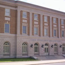
Lawton Federal Building and United States Courthouse
United States of America

Lawton Federal Building and United States Courthouse

12.5 mi
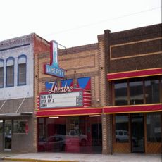
Liberty Theatre
United States of America

Liberty Theatre

25.3 mi
Show the full map
Reviews
Share your experience

No review yet

Discussions
Start a discussion...

No discussion yet

« Mount Scott - Mountain summit in Wichita Mountains Wildlife Refuge, Oklahoma, US » is provided by Around Us (aroundus.com). Images and texts are derived from Wikimedia project under a Creative Commons license. You are allowed to copy, distribute, and modify copies of this page, under the conditions set by the license, as long as this note is clearly visible.

Discover hidden gems everywhere you go!

From secret cafés to breathtaking viewpoints, skip the crowded tourist spots and find places that match your style. Our app makes it easy with voice search, smart filtering, route optimization, and insider tips from travelers worldwide. Download now for the complete mobile experience.
Around Us App Screenshot
❝

A unique approach to discovering new places❞

— Le Figaro

❝

All the places worth exploring❞

— France Info

❝

A tailor-made excursion in just a few clicks❞

— 20 Minutes

Around Us
Travel Guide & Maps
Download

Send to your phone

QR Code
1

Open the camera app on your mobile.

2

Point at the QR code with your camera. A notification will appear.

3

Tap the notification to open the link.