Pontotoc County

Log in to your account

AroundUs is a community-driven map of interesting places, built by curious explorers like you. It grows with every review, story, and photo you share.
Connect to save your favorite spots, contribute locations, and create personalized routes.
Continue with Google
Continue with Apple
Continue with X
Continue with Facebook
Continue with email
By continuing, you accept our Terms and Conditions and our Privacy Policy
Create an account
Add to collection
Map
Suggest a change
Share

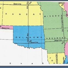
Pontotoc County, Administrative county in south-central Oklahoma, United States

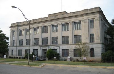
Pontotoc County is an administrative division in south-central Oklahoma with Ada as its county seat. The region covers both urban and rural areas managed through a three-member Board of County Commissioners.

The county formed in 1907 during Oklahoma's statehood from Chickasaw Nation territory. Its name derives from a historic tribal area that held significance in earlier times.

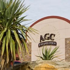
The area maintains deep ties to the Chickasaw Nation, whose headquarters operates from Ada and shapes the region's character. These connections are visible in local institutions and community life throughout the county.

Ada serves as the administrative hub and is the best starting point for exploring the region. Visitors should base themselves in Ada to access government offices and local services.

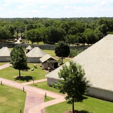
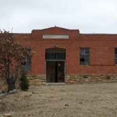
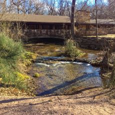
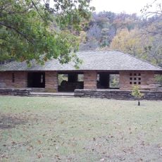
More than 48 archaeological sites record the presence of prehistoric peoples across different time periods. These locations offer evidence of human settlement spanning thousands of years.

Location: Oklahoma

Inception: 1907

Capital city: Ada

Shares border with: Seminole County, Johnston County, Murray County, Hughes County, Coal County, McClain County, Garvin County, Pottawatomie County

GPS coordinates: 34.72000,-96.69000

Latest update: December 7, 2025 19:30

Photos
Around this place
Greater Wynnewood Exotic Animal Park
United States of America

Greater Wynnewood Exotic Animal Park

48.9 km
Turner Falls
United States of America

Turner Falls

53.3 km
Turner Falls Park
United States of America

Turner Falls Park

53.1 km
Lake of the Arbuckles
United States of America

Lake of the Arbuckles

44.4 km
Indian meridian
United States of America

Indian meridian

56.3 km
Treasure Valley Casino
United States of America

Treasure Valley Casino

50 km
Chickasaw Cultural Center
United States of America

Chickasaw Cultural Center

37.7 km
Ada Gaming Center
United States of America

Ada Gaming Center

8.5 km
Wintersmith Park Historic District
United States of America

Wintersmith Park Historic District

5.3 km
Rosenwald Hall
United States of America

Rosenwald Hall

51.2 km
Tishomingo National Wildlife Refuge
United States of America

Tishomingo National Wildlife Refuge

60.8 km
Wanette–Byars Bridge
United States of America

Wanette–Byars Bridge

39.7 km
Chickasaw Nation Capitols
United States of America

Chickasaw Nation Capitols

53.6 km
Pontotoc County Courthouse
United States of America

Pontotoc County Courthouse

5.9 km
Strother Memorial Chapel
United States of America

Strother Memorial Chapel

57.2 km
Ada Arts and Heritage Center
United States of America

Ada Arts and Heritage Center

5.8 km
First Methodist Church Building
United States of America

First Methodist Church Building

63.6 km
Holdenville Armory
United States of America

Holdenville Armory

49.5 km
Holdenville City Hall
United States of America

Holdenville City Hall

48.3 km
Seminole County Courthouse
United States of America

Seminole County Courthouse

52 km
Murray County Courthouse
United States of America

Murray County Courthouse

35.4 km
Garvin County Courthouse
United States of America

Garvin County Courthouse

48.7 km
Travertine Creek
United States of America

Travertine Creek

35.2 km
First National Bank Building
United States of America

First National Bank Building

26.3 km
Travertine Nature Center
United States of America

Travertine Nature Center

33.8 km
Cold Springs Campground Comfort Station #30
United States of America

Cold Springs Campground Comfort Station #30

34.5 km
Bromide Pavilion
United States of America

Bromide Pavilion

36.6 km
Cold Springs Campground
United States of America

Cold Springs Campground

34.5 km
Show the full map
Reviews

Visited this place? Tap the stars to rate it and share your experience / photos with the community! Try now! You can cancel it anytime.

Administrative divisions
« Pontotoc County - Administrative county in south-central Oklahoma, United States » is provided by Around Us (aroundus.com). Images and texts are derived from Wikimedia project under a Creative Commons license. You are allowed to copy, distribute, and modify copies of this page, under the conditions set by the license, as long as this note is clearly visible.

Discover hidden gems everywhere you go!

From secret cafés to breathtaking viewpoints, skip the crowded tourist spots and find places that match your style. Our app makes it easy with voice search, smart filtering, route optimization, and insider tips from travelers worldwide. Download now for the complete mobile experience.

Around Us App Screenshot

A unique approach to discovering new places

Le Figaro

All the places worth exploring

France Info

A tailor-made excursion in just a few clicks

20 Minutes