Enable Location

We need your location to show you interesting places around you

Discover nearby places

Find interesting locations and hidden gems around you

Precise directions

Get accurate directions and distances to places

Your location is never shared with other users. It's only used when you tap the location button.

Latimer County

Log in to your account

Join the adventure

Create your free account and start exploring (like 60k+ others)

We will send you a code to connect

or
Continue with Google
Continue with Apple
By continuing, you accept our Terms and Conditions and our Privacy Policy

Check your inbox

We've sent a pincode in your inbox. Please enter the code below.

Latimer County, Administrative county in southeastern Oklahoma, United States.

Description

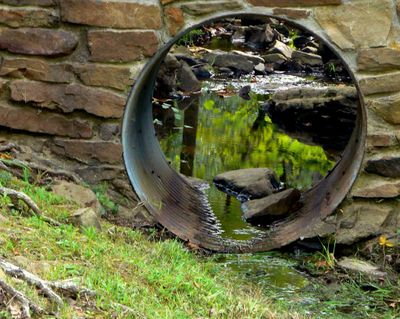
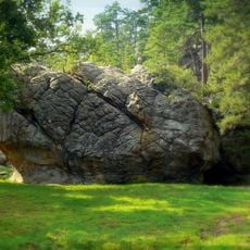
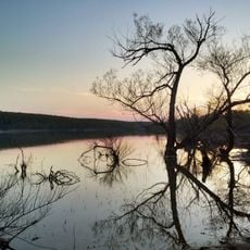
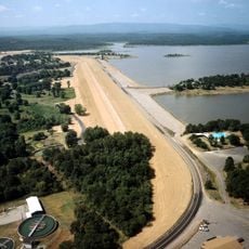
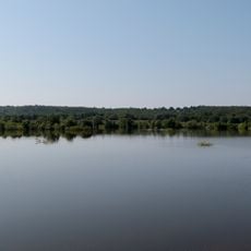
Latimer County spreads across rolling terrain in southeastern Oklahoma with two notable mountain ranges forming its natural boundaries. The landscape includes forests, river valleys, and grasslands throughout the region.

History

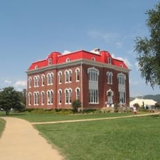
The county was established in 1907 during Oklahoma statehood and named after James L. Latimer, a delegate to the state Constitutional Convention. The area had attracted earlier peoples, notably the Fourche Maline culture that occupied it from around 300 BCE to 800 CE.

Culture

The region was home to various Native American groups who adapted to the mountain and river environment. Local place names and sites today reflect this long indigenous presence.

Practical

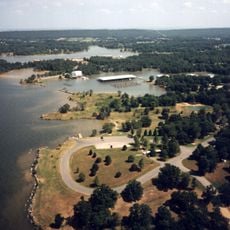
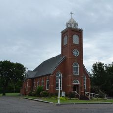
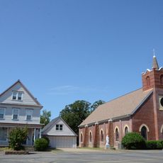
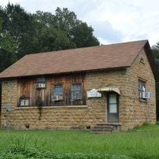
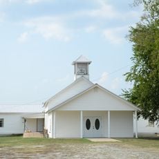
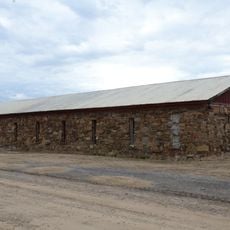
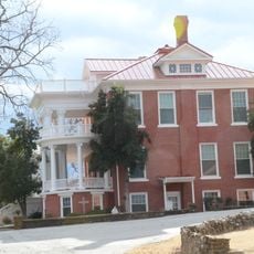
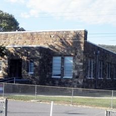
Visitors find a mix of nature and small towns throughout the county, with the mountains offering good opportunities for outdoor activity. The region is best explored by personal vehicle since communities are spread across the landscape.

Did you know?

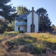
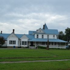
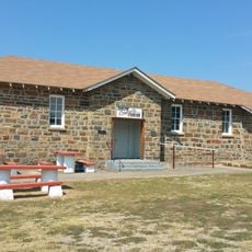
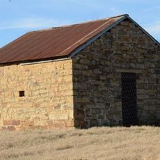
Veterans Colony, founded in 1933 by Spanish-American War veterans, continues to provide land where former soldiers can build homes and grow food. This long-standing program demonstrates a practical approach to supporting those returning from military service.

Location
Inception
1902
Capital city
Wilburton
Shares border with
Haskell County, Pushmataha County, LeFlore County, Pittsburg County
GPS coordinates
34.87000,-95.24000
Latest update
December 10, 2025 15:52

AroundUs brings together thousands of curated places, local tips, and hidden gems, enriched daily by 60,000 contributors worldwide. Discover all places nearby (Oklahoma).

Around this place
Eufaula Lake
United States of America

Eufaula Lake

52.8 km
Oklahoma State Penitentiary
United States of America

Oklahoma State Penitentiary

50.5 km
Robbers Cave State Park
United States of America

Robbers Cave State Park

17.4 km
Robert S. Kerr Reservoir
United States of America

Robert S. Kerr Reservoir

64.1 km
Arrowhead State Park
United States of America

Arrowhead State Park

48.1 km
Lake Wister
United States of America

Lake Wister

46.9 km
Choctaw Capitol Building
United States of America

Choctaw Capitol Building

25.7 km
Peter Conser House
United States of America

Peter Conser House

50.4 km
International Temple, Supreme Assembly, Order of the Rainbow for Girls
United States of America

International Temple, Supreme Assembly, Order of the Rainbow for Girls

48.4 km
Lake Wister State Park
United States of America

Lake Wister State Park

43.2 km
AT6 Monument
United States of America

AT6 Monument

61.1 km
St. Joseph's Catholic Church
United States of America

St. Joseph's Catholic Church

44.2 km
McAlester House
United States of America

McAlester House

48.5 km
McAlester Scottish Rite Temple
United States of America

McAlester Scottish Rite Temple

48.5 km
Sacred Heart Catholic Church and Rectory
United States of America

Sacred Heart Catholic Church and Rectory

8.4 km
Cole Chapel School
United States of America

Cole Chapel School

27.9 km
Cupco Church
United States of America

Cupco Church

20.4 km
Trahern's Station
United States of America

Trahern's Station

48.5 km
Snow School
United States of America

Snow School

55 km
Terry House
United States of America

Terry House

59.4 km
LeFlore County Courthouse
United States of America

LeFlore County Courthouse

59.8 km
United States of America

Summerfield School

46.7 km
Kinta High School
United States of America

Kinta High School

26.5 km
First Presbyterian Church
United States of America

First Presbyterian Church

49.6 km
Clayton High School Auditorium
United States of America

Clayton High School Auditorium

32.9 km
Skullyville County Jail
United States of America

Skullyville County Jail

58.4 km
Haskell County Courthouse
United States of America

Haskell County Courthouse

45.2 km
Okla Theatre
United States of America

Okla Theatre

48.8 km
Show the full map
Administrative divisions
« Latimer County - Administrative county in southeastern Oklahoma, United States » is provided by Around Us (aroundus.com). Images and texts are derived from Wikimedia project under a Creative Commons license. You are allowed to copy, distribute, and modify copies of this page, under the conditions set by the license, as long as this note is clearly visible.

Discover hidden gems everywhere you go!

From secret cafés to breathtaking viewpoints, skip the crowded tourist spots and find places that match your style. Our app makes it easy with voice search, smart filtering, route optimization, and insider tips from travelers worldwide. Download now for the complete mobile experience.

Around Us App Screenshot

A unique approach to discovering new places

Le Figaro

All the places worth exploring

France Info

A tailor-made excursion in just a few clicks

20 Minutes

Around Us
Travel Guide & Maps
Download

Send to your phone

QR Code
1

Open the camera app on your mobile.

2

Point at the QR code with your camera. A notification will appear.

3

Tap the notification to open the link.