Enable Location

We need your location to show you interesting places around you

Discover nearby places

Find interesting locations and hidden gems around you

Precise directions

Get accurate directions and distances to places

Your location is never shared with other users. It's only used when you tap the location button.

Okfuskee County

Log in to your account

Join the adventure

Create your free account and start exploring (like 60k+ others)

We will send you a code to connect

or
Continue with Google
Continue with Apple
By continuing, you accept our Terms and Conditions and our Privacy Policy

Check your inbox

We've sent a pincode in your inbox. Please enter the code below.

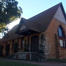
Okfuskee County, County seat near Interstate 40 in Oklahoma, United States

Description

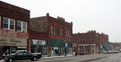
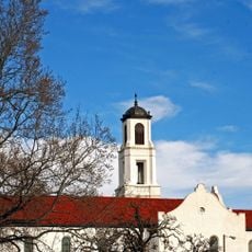
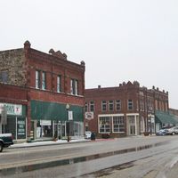
Okfuskee County is an administrative division in east-central Oklahoma spanning about 629 square miles, bordered by Creek County to the north and Hughes County to the south. The landscape features gentle hills and agricultural land, with smaller towns like Okemah serving as administrative centers.

History

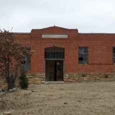
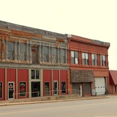
The county was established in 1907 during Oklahoma's statehood and named after a former Creek town in Cleburne County, Alabama. Oil and gas production beginning in 1914 became a driving force for the area's economic growth.

Culture

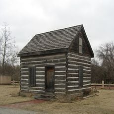
The area was originally home to Quapaw and Osage peoples before Creek communities settled here. After the Civil War, African American settlements like Boley and Clearview developed in the region.

Practical

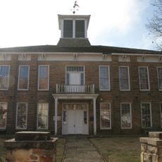
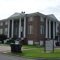
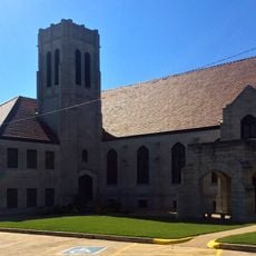
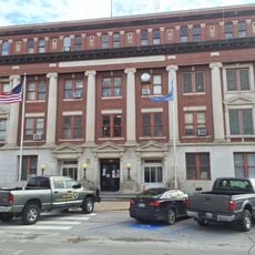
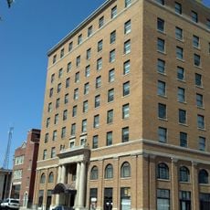
The County Courthouse in Okemah provides administrative services and public access to records during business hours. Online search tools allow visitors to research historical documents from home before visiting in person.

Did you know?

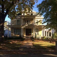
The county reached its population peak in the early 1930s with nearly 20,000 residents during the height of oil industry prosperity. The subsequent decline reflects how economic shifts in natural resource extraction have shaped the region's trajectory over decades.

Location
Inception
1907
Capital city
Okemah
Shares border with
Creek County, Hughes County, Seminole County, Okmulgee County, McIntosh County, Lincoln County, Pottawatomie County
GPS coordinates
35.47000,-96.33000
Latest update
December 7, 2025 20:40

AroundUs brings together thousands of curated places, local tips, and hidden gems, enriched daily by 60,000 contributors worldwide. Discover all places nearby (Oklahoma).

Around this place
Creek National Capitol
United States of America

Creek National Capitol

36.6 km
Deep Fork National Wildlife Refuge
United States of America

Deep Fork National Wildlife Refuge

35.2 km
Eastside Baptist Church
United States of America

Eastside Baptist Church

37.9 km
Rosenwald Hall
United States of America

Rosenwald Hall

41 km
Governor's Mansion
United States of America

Governor's Mansion

56.2 km
Okmulgee Park
United States of America

Okmulgee Park

28.5 km
Boley Historic District
United States of America

Boley Historic District

14.1 km
Chandler Armory
United States of America

Chandler Armory

56.3 km
First Baptist Central Church
United States of America

First Baptist Central Church

37 km
St. Anthony's Catholic Church
United States of America

St. Anthony's Catholic Church

36.4 km
Beard Cabin
United States of America

Beard Cabin

55.5 km
Joseph Carpenter House
United States of America

Joseph Carpenter House

43 km
Strother Memorial Chapel
United States of America

Strother Memorial Chapel

41.6 km
Bristow Presbyterian Church
United States of America

Bristow Presbyterian Church

40.8 km
St. Stephen's Episcopal Church
United States of America

St. Stephen's Episcopal Church

56.3 km
St. Paul Baptist Church and Cemetery
United States of America

St. Paul Baptist Church and Cemetery

54.7 km
St. Cloud Hotel
United States of America

St. Cloud Hotel

55.5 km
Conklin House
United States of America

Conklin House

56.3 km
Okmulgee Downtown Historic District
United States of America

Okmulgee Downtown Historic District

36.8 km
Holdenville Armory
United States of America

Holdenville Armory

43 km
Holdenville City Hall
United States of America

Holdenville City Hall

43.5 km
Seminole County Courthouse
United States of America

Seminole County Courthouse

37.7 km
Aldridge Hotel
United States of America

Aldridge Hotel

56 km
Route 66 Interpretive Center
United States of America

Route 66 Interpretive Center

56.2 km
Hornbeck Theatre
United States of America

Hornbeck Theatre

56 km
Ritz Theatre
United States of America

Ritz Theatre

56.2 km
Nichols Park South Picnic Shelter
United States of America

Nichols Park South Picnic Shelter

33 km
Bell Street Historic District
United States of America

Bell Street Historic District

56 km
Show the full map
Administrative divisions
« Okfuskee County - County seat near Interstate 40 in Oklahoma, United States » is provided by Around Us (aroundus.com). Images and texts are derived from Wikimedia project under a Creative Commons license. You are allowed to copy, distribute, and modify copies of this page, under the conditions set by the license, as long as this note is clearly visible.

Discover hidden gems everywhere you go!

From secret cafés to breathtaking viewpoints, skip the crowded tourist spots and find places that match your style. Our app makes it easy with voice search, smart filtering, route optimization, and insider tips from travelers worldwide. Download now for the complete mobile experience.

Around Us App Screenshot

A unique approach to discovering new places

Le Figaro

All the places worth exploring

France Info

A tailor-made excursion in just a few clicks

20 Minutes

Around Us
Travel Guide & Maps
Download

Send to your phone

QR Code
1

Open the camera app on your mobile.

2

Point at the QR code with your camera. A notification will appear.

3

Tap the notification to open the link.