Kinta, town in Oklahoma, USA
Location: Haskell County
Elevation above the sea: 167 m
GPS coordinates: 35.12083,-95.23861
Latest update: March 22, 2025 19:43

Eufaula Lake
31.9 km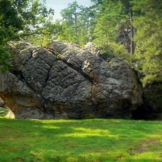
Robbers Cave State Park
16.1 km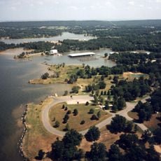
Robert S. Kerr Reservoir
43.4 km
Arrowhead State Park
35.6 km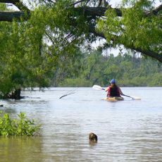
Lake Eufaula State Park
46 km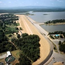
Lake Wister
50.4 km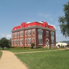
Choctaw Capitol Building
53.5 km
International Temple, Supreme Assembly, Order of the Rainbow for Girls
52.3 km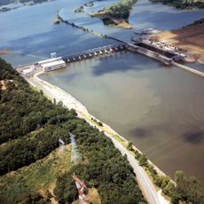
Webbers Falls Lake
53.4 km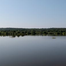
Lake Wister State Park
48.2 km
Aldridge Hotel
52.5 km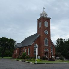
St. Joseph's Catholic Church
48.5 km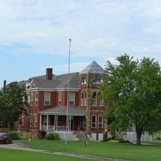
Oklahoma Odd Fellows Home at Checotah
47.4 km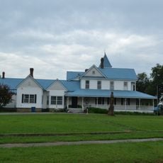
McAlester House
51 km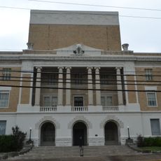
McAlester Scottish Rite Temple
52.3 km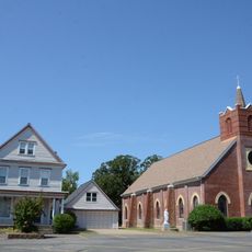
Sacred Heart Catholic Church and Rectory
23.7 km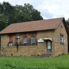
Cole Chapel School
36.6 km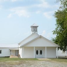
Cupco Church
47.7 km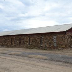
Trahern's Station
39.6 km
Hines Round Barn
54.8 kmSummerfield School
33.6 km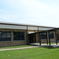
Kinta High School
1.4 km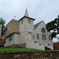
First Presbyterian Church
53.4 km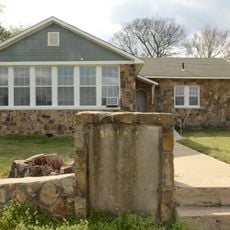
Tucker School
49.9 km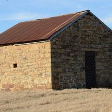
Skullyville County Jail
47.8 km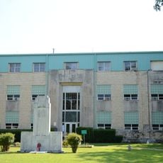
Haskell County Courthouse
20.7 km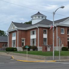
First United Methodist Church
46.8 km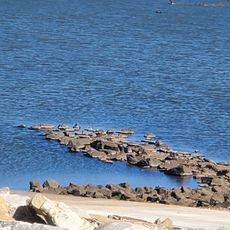
Lake Eufala Dam ORV Area
22.6 kmVisited this place? Tap the stars to rate it and share your experience / photos with the community! Try now! You can cancel it anytime.
Discover hidden gems everywhere you go!
From secret cafés to breathtaking viewpoints, skip the crowded tourist spots and find places that match your style. Our app makes it easy with voice search, smart filtering, route optimization, and insider tips from travelers worldwide. Download now for the complete mobile experience.

A unique approach to discovering new places❞
— Le Figaro
All the places worth exploring❞
— France Info
A tailor-made excursion in just a few clicks❞
— 20 Minutes