McPherson County

Log in to your account

AroundUs is a community-driven map of interesting places, built by curious explorers like you. It grows with every review, story, and photo you share.
Connect to save your favorite spots, contribute locations, and create personalized routes.
Continue with Google
Continue with Apple
Continue with X
Continue with Facebook
Continue with email
By continuing, you accept our Terms and Conditions and our Privacy Policy
Create an account
Add to collection
Map
Suggest a change
Share

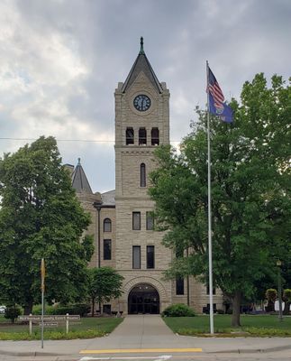
McPherson County, Administrative county in central Kansas, United States

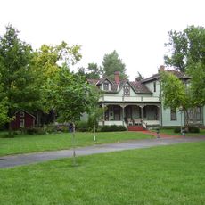
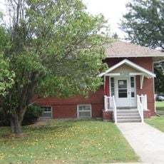
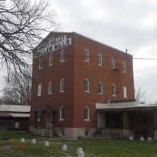
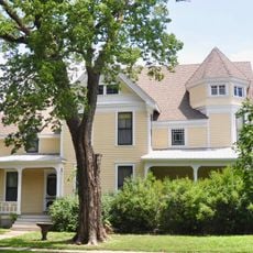
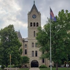
McPherson County is a county in central Kansas that covers farmland, small towns, and wooded areas across its territory. Several highways pass through the region and connect it to neighboring counties.

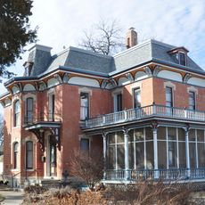
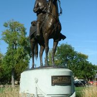
The county was established in 1867 and named after General James McPherson, an officer from the American Civil War. This naming honored his service during an important chapter in American history.

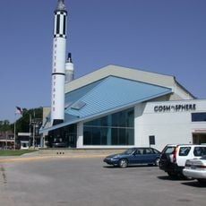
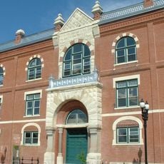
Three higher education institutions within the county borders provide academic programs and contribute to the regional educational development.

Visitors can explore the region by car, as a well-developed network of highways runs through the area. Smaller roads connect the towns and provide access to local sites.

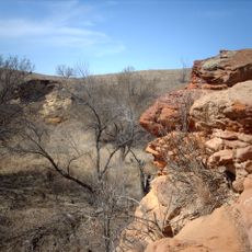
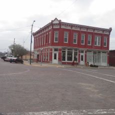
The historic Santa Fe Trail, a major trade route of the 1800s, passed through what is now McPherson County. This route connected the eastern and southwestern regions and left traces that travelers can still observe in the landscape today.

Location: Kansas

Inception: February 26, 1867

Capital city: McPherson

Shares border with: Saline County, Dickinson County, Marion County, Harvey County, Reno County, Rice County, Ellsworth County

Website: http://McPhersonCountyKS.us

GPS coordinates: 38.40000,-97.66670

Latest update: December 14, 2025 20:25

Photos
Around this place
Kansas Cosmosphere and Space Center
United States of America

Kansas Cosmosphere and Space Center

43.4 km
Kanopolis State Park
United States of America

Kanopolis State Park

40.8 km
Alexanderwohl Mennonite Church
United States of America

Alexanderwohl Mennonite Church

32.8 km
United States of America

KWCH Tower

38.7 km
Wellington Formation
United States of America

Wellington Formation

46.4 km
Kansas Motorcycle Museum
United States of America

Kansas Motorcycle Museum

22.5 km
Fox Theater
United States of America

Fox Theater

44.8 km
Swedish Pavilion
United States of America

Swedish Pavilion

18.6 km
St. Theresa's Catholic Church
United States of America

St. Theresa's Catholic Church

44.3 km
Hans Hanson House
United States of America

Hans Hanson House

22.6 km
McPherson Opera House
United States of America

McPherson Opera House

3.6 km
Farmers State Bank
United States of America

Farmers State Bank

19.3 km
Johnson House
United States of America

Johnson House

20.2 km
Canton Township Carnegie Library
United States of America

Canton Township Carnegie Library

21 km
Smoky Valley Roller Mill
United States of America

Smoky Valley Roller Mill

18.6 km
United States of America

Berquist & Nelson Drugstore Building

19.4 km
United States of America

Rosberg-Holmgren-Clareen Block

19.4 km
John R. Wright House
United States of America

John R. Wright House

3.3 km
McPherson County Courthouse
United States of America

McPherson County Courthouse

3.3 km
Kuns–Collier House
United States of America

Kuns–Collier House

3.7 km
Teichgraeber–Runbeck House
United States of America

Teichgraeber–Runbeck House

18.5 km
Reno County Courthouse
United States of America

Reno County Courthouse

45.2 km
Eliason Barn
United States of America

Eliason Barn

41.2 km
McPherson Museum and Arts Foundation
United States of America

McPherson Museum and Arts Foundation

3.6 km
Reno County Museum
United States of America

Reno County Museum

45.2 km
Hutchinson Art Center
United States of America

Hutchinson Art Center

44.7 km
Hobbs Creek Bridge
United States of America

Hobbs Creek Bridge

36.2 km
Downtown Core North Historic District
United States of America

Downtown Core North Historic District

44.7 km
Show the full map
Reviews

Visited this place? Tap the stars to rate it and share your experience / photos with the community! Try now! You can cancel it anytime.

Administrative divisions
« McPherson County - Administrative county in central Kansas, United States » is provided by Around Us (aroundus.com). Images and texts are derived from Wikimedia project under a Creative Commons license. You are allowed to copy, distribute, and modify copies of this page, under the conditions set by the license, as long as this note is clearly visible.

Discover hidden gems everywhere you go!

From secret cafés to breathtaking viewpoints, skip the crowded tourist spots and find places that match your style. Our app makes it easy with voice search, smart filtering, route optimization, and insider tips from travelers worldwide. Download now for the complete mobile experience.

Around Us App Screenshot

A unique approach to discovering new places

Le Figaro

All the places worth exploring

France Info

A tailor-made excursion in just a few clicks

20 Minutes