
Cherokee, city in Oklahoma, United States
Location: Alfalfa County
Elevation above the sea: 360 m
GPS coordinates: 36.75417,-98.35528
Latest update: March 19, 2025 04:39
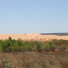
Little Sahara State Park
53.1 km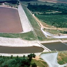
Great Salt Plains Lake
14.9 km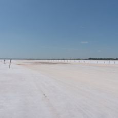
Salt Plains National Wildlife Refuge
11.7 km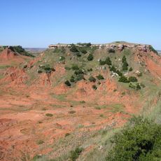
Gloss Mountain State Park
47.5 km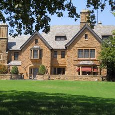
H. H. Champlin House
57.8 km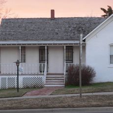
Carrie Nation House
61.4 km
Sod House
32.1 km
Gaslight Theatre
58.1 km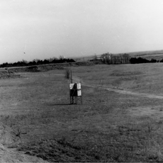
Medicine Lodge Peace Treaty Site
62.9 km
Cherokee Strip Regional Heritage Center
59 km
Broadway Tower
58.4 km
Railroad Museum of Oklahoma
57.5 km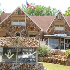
Midgley Museum
58.1 km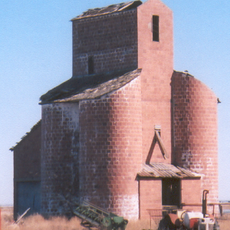
Ingersoll Tile Elevator
5.6 km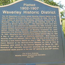
Waverley Historic District
57.2 km
Central National Bank
28.3 km
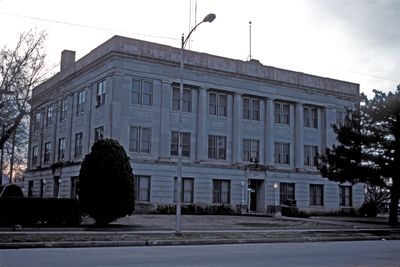
Garfield County Courthouse
58.3 km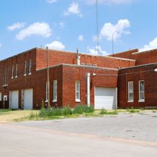
Enid Armory
58.6 km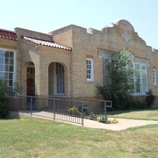
Jackson School
62.5 km
Lamerton House
58 km
Clay Hall
60.7 km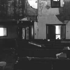
Cherokee Friends Church
333 m
Enid Masonic Temple
58.1 km
Public Library of Enid and Garfield County
58.3 km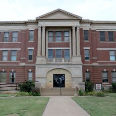
Grant County Courthouse
55.7 km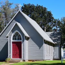
Old Runnymede Church
66.3 km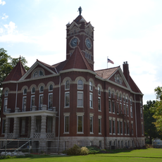
Harper County Courthouse
53.1 km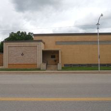
Pond Creek Masonic Lodge No. 125
50.6 kmVisited this place? Tap the stars to rate it and share your experience / photos with the community! Try now! You can cancel it anytime.
Discover hidden gems everywhere you go!
From secret cafés to breathtaking viewpoints, skip the crowded tourist spots and find places that match your style. Our app makes it easy with voice search, smart filtering, route optimization, and insider tips from travelers worldwide. Download now for the complete mobile experience.

A unique approach to discovering new places❞
— Le Figaro
All the places worth exploring❞
— France Info
A tailor-made excursion in just a few clicks❞
— 20 Minutes