
Pagancillo, municipality and village in La Rioja Province, Argentina
Location: Coronel Felipe Varela Department
Elevation above the sea: 1,174 m
GPS coordinates: -29.56667,-68.05000
Latest update: March 19, 2025 04:53
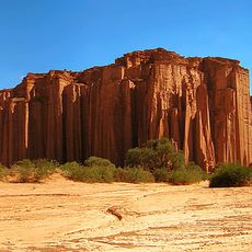
Talampaya National Park
34.4 km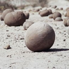
Ischigualasto Provincial Park
62.7 km
Reserva provincial Laguna Brava
164.3 km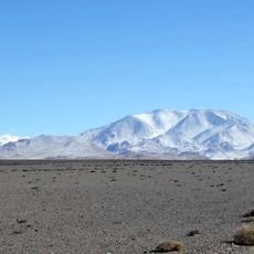
San Guillermo National Park
123.1 km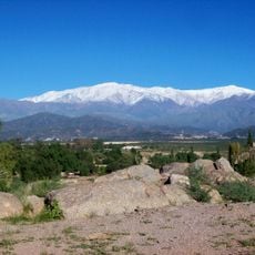
Cerro General M. Belgrano
65.1 km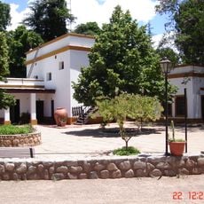
Samay Huasi
70.5 km
Cerro Las Tórtolas
184.2 km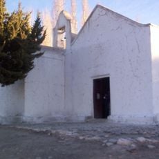
Capilla de Achango
136.9 km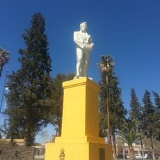
Monumento a Francisco Narciso Laprida
100.7 km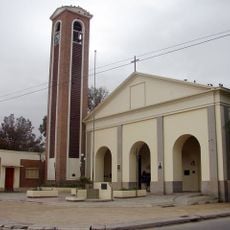
Iglesia de San José de Jáchal
100.8 km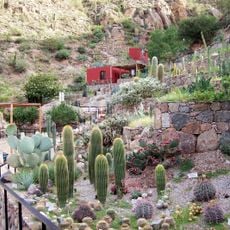
Chirau Mita Botanical Garden
70.9 km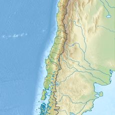
Tapado Glacier
190.9 km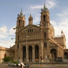
La Rioja cathedral
116.9 km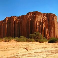
Ischigualasto / Talampaya Natural Parks
39.8 km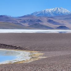
Excursión a Laguna Brava
88.1 km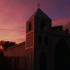
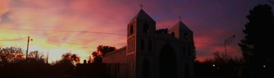
Iglesia de Nuestra Señora de la Merced
5.6 km
Salina del Alto del Mogna
147.6 km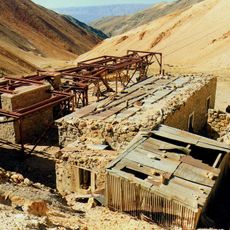
Chilecito-La Mejicana ropeway station no. 9 "La Mejicana"
67.2 km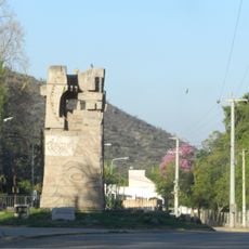
Tapiales de Las Padercitas
110.5 km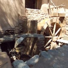
Molino de Sardiña
95.6 km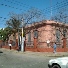
Colegio Nacional Joaquín V. González
116.7 km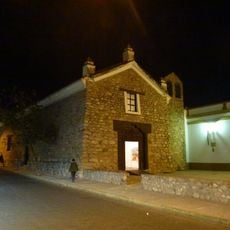
Templo y Convento de Santo Domingo
117.2 km
Casa que habito Joaquín V. González
116.4 km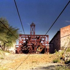
Chilecito-La Mejicana ropeway station no. 2 "El Durazno"
67.4 km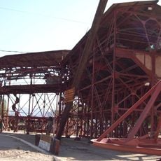
Chilecito-La Mejicana ropeway station no. 1 "Chilecito"
69.2 km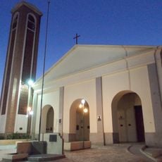
Templo de San José de Jachal
100.8 km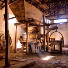
Viejo Molino de Huaco o de los Dojorti
95.6 km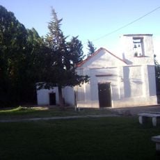
Iglesia de Achango y su entorno, compuesto por el caserío, los corrales y el cementerio
136.9 kmVisited this place? Tap the stars to rate it and share your experience / photos with the community! Try now! You can cancel it anytime.
Discover hidden gems everywhere you go!
From secret cafés to breathtaking viewpoints, skip the crowded tourist spots and find places that match your style. Our app makes it easy with voice search, smart filtering, route optimization, and insider tips from travelers worldwide. Download now for the complete mobile experience.

A unique approach to discovering new places❞
— Le Figaro
All the places worth exploring❞
— France Info
A tailor-made excursion in just a few clicks❞
— 20 Minutes