Reserva provincial Laguna Brava, Protected area in La Rioja Province, Argentina.
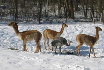
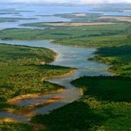
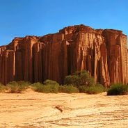
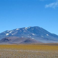
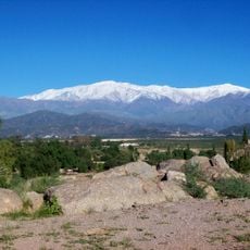
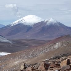
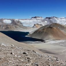
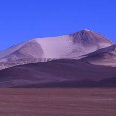
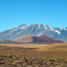
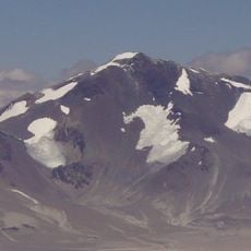
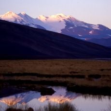
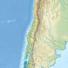
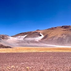
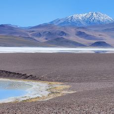
Reserva provincial Laguna Brava is a large protected area in the high Andes with salt lakes and volcanic peaks. The landscape spans roughly 405,000 hectares across elevations between 2,500 and 4,500 meters, featuring bare mountains and saline waters.
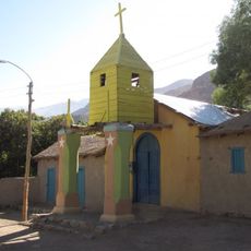
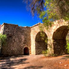
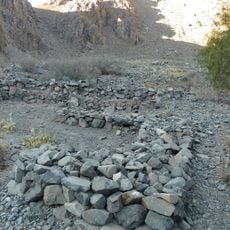
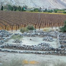
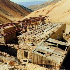
The area served as a mountain passage for travelers in ancient times, with archaeological traces marking routes used for centuries. In the 1800s, herders built stone shelters to aid their journeys crossing toward Chile.
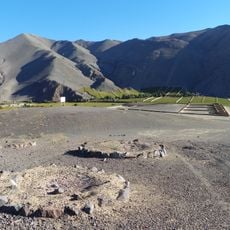
The landscape contains traces of people who traveled and lived here long ago, with ceremonial platforms and simple structures scattered across the terrain. These remains show how important this place was for those crossing the high mountains.
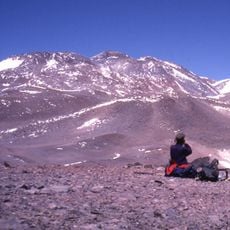
To visit the area, you must travel with an authorized guide or book through a travel agency, as independent visits are not permitted. Plan to arrive in the morning, as entry is only allowed between 9:00 AM and 2:00 PM.
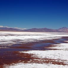
The main lagoon attracts flamingos that migrate across thousands of kilometers between four countries in search of food. These birds are part of a larger network connecting Argentina, Bolivia, Chile, and Peru.
The community of curious travelers
AroundUs brings together thousands of curated places, local tips, and hidden gems, enriched daily by 60,000 contributors worldwide.