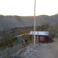
Quebrada de Pinte, Canyon in Atacama Desert, Chile
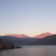
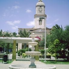
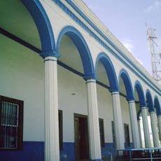
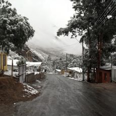
Quebrada de Pinte is a ravine and caserío in the Huasco Province, Atacama Region, within the El Tránsito valley. Its exposed Jurassic slopes carry marine fossils and layered rock formations known locally as La Mota, El Mapa and La Torre. The village has a small chapel with an adobe bell tower and a plaza of orange trees.
The first known inhabitants of Quebrada de Pinte are linked to the El Molle culture, attested by a cemetery of six burial mounds near the current Museo de Sitio. Vestiges of settlements attributed to the Las Ánimas culture were also found, which some authors treat as an early phase of the Chilean Diaguita culture. From 1800 Pinte belonged to the Subdelegación de El Tránsito; it appears as Pinto del Ají in 1907 and as Quebrada Pinta in 1914. In 1979 the creation of the Municipality of Alto del Carmen made the hamlet part of that commune.
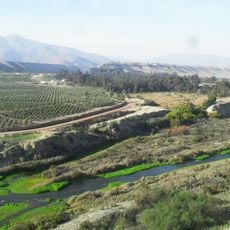
The people living nearby practice traditional wool weaving and grow fruits like avocados and oranges in the dry riverbed areas. These activities have shaped daily life in the area for generations and remain visible to visitors exploring the region.
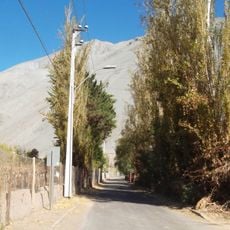
The village lies 12 km inland from El Tránsito: 7 km to the access turn-off and 5 km more on a dirt road. Daily rural buses from Marañón 1289 in Vallenar only reach La Arena or the access road. Fill the tank in Vallenar, since Alto del Carmen has no fuel stations, and allow extra time for the road's design speed.
The fossil-bearing slopes are protected under Chile's Law 17.288 of 1971 on National Monuments. Local names mark the rock formations: La Mota, El Mapa and La Torre. The overlapping marine fossil layers produce colour bands known as El Arcoíris de Atacama, best photographed between 14:00 and 17:00.
The community of curious travelers
AroundUs brings together thousands of curated places, local tips, and hidden gems, enriched daily by 93,651 contributors worldwide.