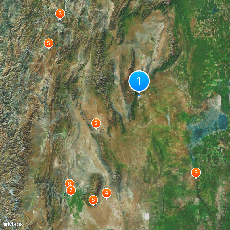
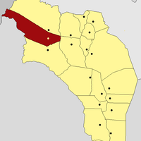
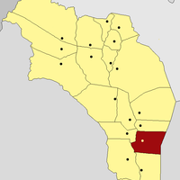
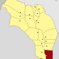
La Rioja Province, Northwestern province in Argentina.
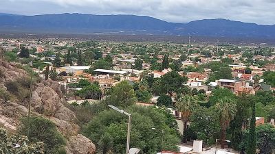
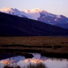
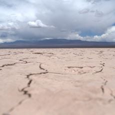
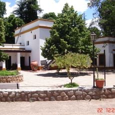
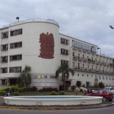
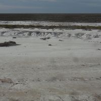
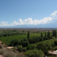
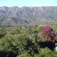
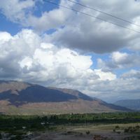
La Rioja Province is a first-level administrative division in northwestern Argentina, bordered by the Andes to the west and the plains to the east. The region spreads over mountainous terrain, irrigated valleys, and dry lowlands shaped by rivers flowing from the high peaks.
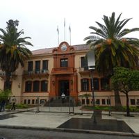
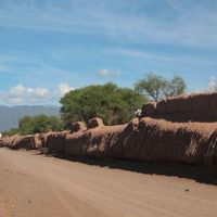
The region was originally home to indigenous groups including the Diaguita and Capayán before Spanish colonization brought it under the Viceroyalty of Peru. After independence, the territory joined the Argentine Republic in 1853 and became a province with its own government.
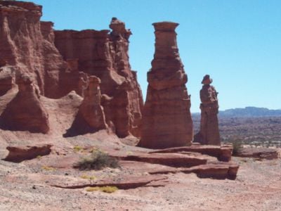
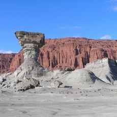
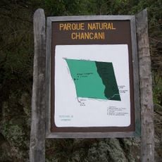
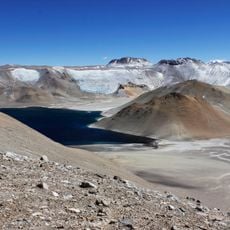
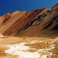
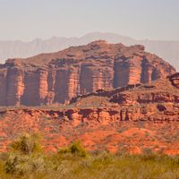
The Talampaya National Park contains petroglyphs and geological formations documenting 10,000 years of human presence and dinosaur remains in northwestern Argentina.
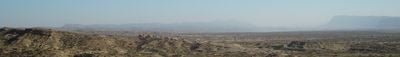
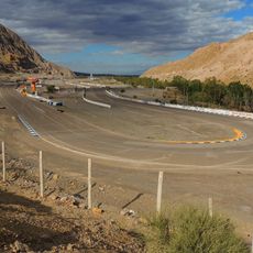
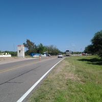
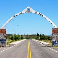
The province is accessible by road from other parts of Argentina, with travel times varying considerably depending on your starting point. The climate is dry with strong temperature swings between day and night, so layered clothing is recommended for comfort throughout the day.
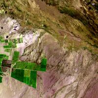
Talampaya National Park preserves rock art and geological layers that document both ancient human settlement and prehistoric fossils in the same area. These sites sit within a landscape of red sandstone cliffs shaped by erosion into unusual forms over millions of years.
Location: Argentina
Inception: 1853
Capital city: La Rioja
Reference: LR
Part of: South America Midwest Integrated Zone
Shares border with: San Juan Province, San Luis Province, Córdoba Province, Catamarca Province, Atacama Region
Address: La Rioja, La Rioja Province, Argentina
Website: https://larioja.gov.ar
GPS coordinates: -29.41333,-66.85667
Latest update: December 11, 2025 19:09
Ischigualasto Provincial Park
128.6 km
Monte Pissis
264.8 km
Santuario de San Expedito
254 km
Reserva provincial Laguna Brava
244.5 km
Circuito San Juan Villicum
275.3 km
Casa Natal de Domingo Faustino Sarmiento
285.5 km
Oratorio de la Difunta Correa
280 km
Traslasierra National Park
236.2 km
Catedral Basilica de Nuestra Señora del Valle
148.5 km
Estadio Bicentenario Ciudad de Catamarca
152.1 km
Cerro General M. Belgrano
104.4 km
Valle del Tulum
291.7 km
Auditorio Juan Victoria
285.7 km
Leoncito Astronomical Complex
353.7 km
Barreal Blanco
367.1 km
Autódromo Eduardo Copello
296.4 km
Parque y reserva natural Chancaní
252.8 km
Bodegas Graffigna
285 km
Escuela Normal Superior Sarmiento
285.7 km
Samay Huasi
66.1 km
Museo Provincial de Bellas Artes Franklin Rawson
284.6 km
Reserva de uso múltiple Valle Fértil
205.5 km
Félix Aguilar Observatory
355.9 km
San Juan train station San Martín
286.3 km
Incapillo
256 km
Teatro Sarmiento
285.6 km
Edificio de la Legislatura de San Juan
286.1 km
Quebrada de los Cóndores
132.3 kmVisited this place? Tap the stars to rate it and share your experience / photos with the community! Try now! You can cancel it anytime.
Arauco Department
Capital Department
Castro Barros
Chamical Department
Chilecito Department
Coronel Felipe Varela Department
Famatina Department
General Ángel V. Peñaloza
General Belgrano Department
General Juan Facundo Quiroga
General Lamadrid
General Ocampo Department
General San Martín Department
Independencia
Rosario Vera Peñaloza
San Blas de los Sauces Department
Sanagasta
Vinchina City
Discover hidden gems everywhere you go!
From secret cafés to breathtaking viewpoints, skip the crowded tourist spots and find places that match your style. Our app makes it easy with voice search, smart filtering, route optimization, and insider tips from travelers worldwide. Download now for the complete mobile experience.
A unique approach to discovering new places❞
— Le Figaro
All the places worth exploring❞
— France Info
A tailor-made excursion in just a few clicks❞
— 20 Minutes