Los seismiles, Mountain hiking trail in Catamarca, Argentina.
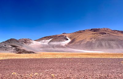
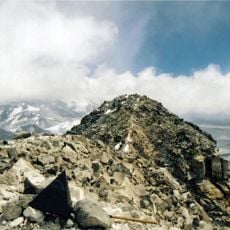
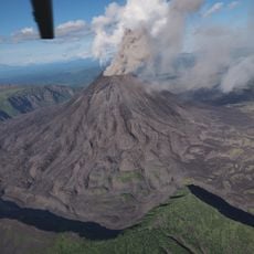
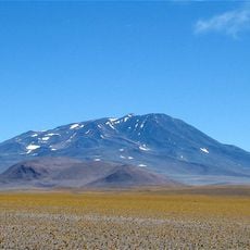
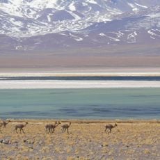
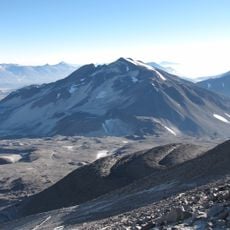
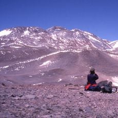
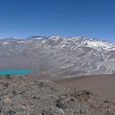
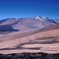
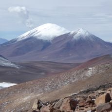
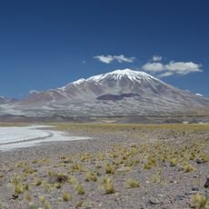
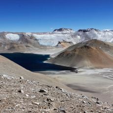
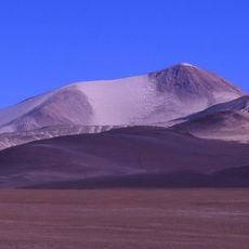
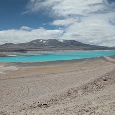
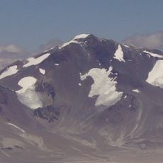
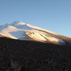
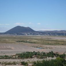
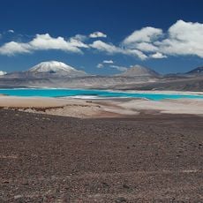
Los Seismiles is a hiking trail in western Catamarca featuring roughly twenty volcanic peaks that all exceed 6000 meters in elevation. The path follows traditional routes and provides basic mountain shelters positioned along National Route 60 for hikers.
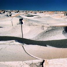
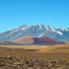
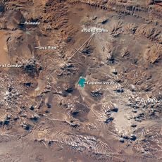
Inca settlements used these mountain passes as trade and travel routes in ancient times, with evidence of occupation found near Icahuasi Volcano. The landscape itself became shaped by these early pathways that connected different regions.
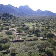
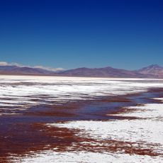
The route passes through communities where earthen building techniques remain visible in structures and local craftsmanship is still practiced today. These methods reflect how people have adapted their construction to the high mountain environment over generations.
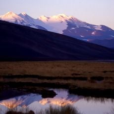
The best season for hiking runs from October to April when weather conditions are most stable and trekking is safer. Visitors should arrange local guides and four-wheel-drive vehicles in advance to handle the remote access roads.
The name Seismiles refers to six thousand meter peaks, yet the area actually contains roughly twenty volcanic summits, making it more extensive than the name suggests. This means hikers encounter more high peaks than the title might initially indicate.
The community of curious travelers
AroundUs brings together thousands of curated places, local tips, and hidden gems, enriched daily by 60,000 contributors worldwide.