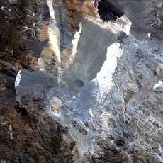
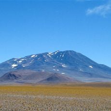
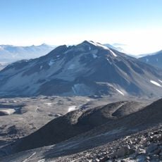
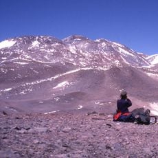
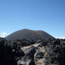
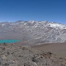
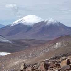
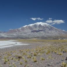
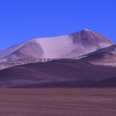
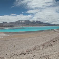
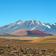
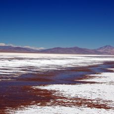
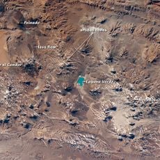
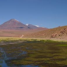
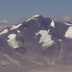
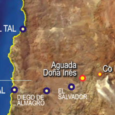
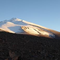
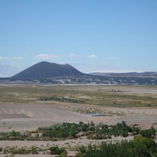
Cerro El Cóndor, Stratovolcano in Antofagasta de la Sierra Department, Argentina.
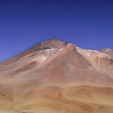
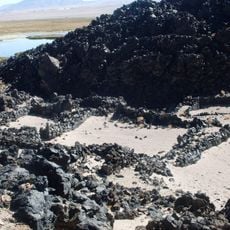
Cerro El Cóndor is a stratovolcano in the Antofagasta de la Sierra Department of Catamarca Province, Argentina, about 10 km from the Chilean border. Its 281 km² massif was built by two volcanoes: the older edifice forms the northern and eastern flanks, cut by scarps read as caldera remnants, while the summit region belongs to the younger edifice, with craters 100–350 m across covered in pyroclastic material and scoria. Lava flows from the younger phase reach up to 17 km from the summit.
The volcano formed through two main phases of volcanic activity spanning several million years. This extended period of development shaped the landscape of the high plateau.
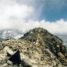
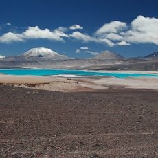
The name El Cóndor refers to the Andean condor; the peak rises in the Argentine Puna de Atacama, about 10 km from the Chilean border in Catamarca Province. From the summit, climbers can see the Antofalla volcano to the north, Peinado to the east, and Incahuasi, San Francisco, El Muerto, Ojos del Salado and Tres Cruces to the south.
A climb requires specialized mountain equipment and good physical preparation due to extreme altitude and low temperatures. Visitors should acclimatize to the thinner air and allow adequate time for adaptation.
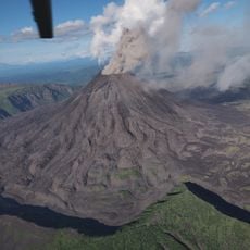
Satellite images have detected ongoing deformation of Cerro El Cóndor, a sign of movement beneath a peak considered dormant but capable of future activity. Its remoteness limits hazards on the ground, yet pyroclastic eruptions could affect air traffic over the region and to its east.
The community of curious travelers
AroundUs brings together thousands of curated places, local tips, and hidden gems, enriched daily by 93,782 contributors worldwide.