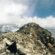
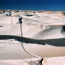
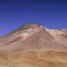
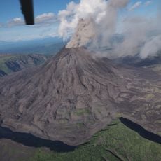
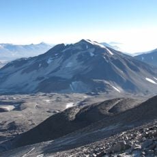
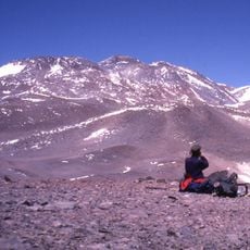
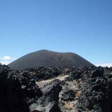
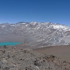
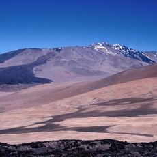
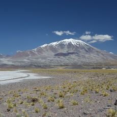
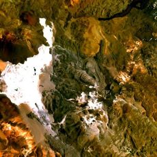
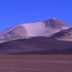
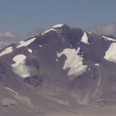
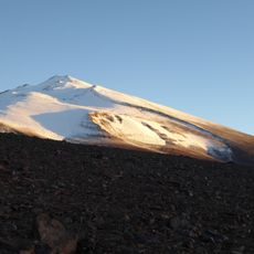
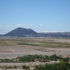
Cerro Colorado, Stratovolcano in northern Andes, Chile.
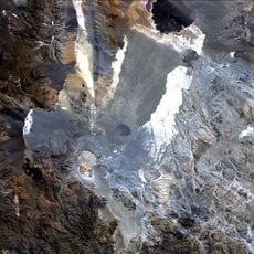
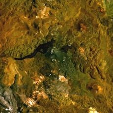
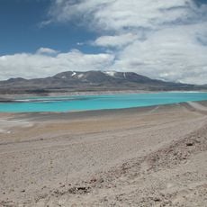
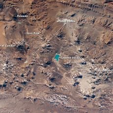
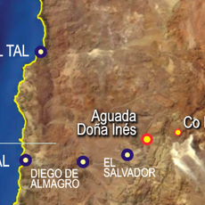
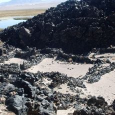
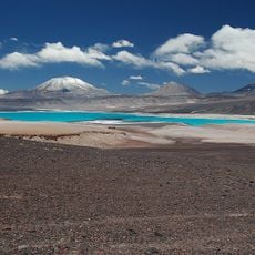
Cerro Colorado is a stratovolcano in the Sairecabur volcanic group of northern Chile, about 7 km west of the Bolivian border and the same distance southwest of Putana Volcano. It lies immediately west of Cerro Curiquinca and northwest of Volcán Escalante (El Apagado). Some maps place it south of border pass No. 33 on the Meseta de los Colorados, and it is also known as Cumbre Negra.
Cerro Colorado is one of three mountains—with Cerro Curiquinca and Volcán Escalante—forming part of the Sairecabur volcanic group. The Spanish Wikipedia lists Cerro Colorados (also called Cumbre Negra) at 6,080 m in the Sierra de los Colorados, about 45 km from San Pedro de Atacama, entirely in Chile. Its ascent has no recorded history because, although not difficult, access is harder than to neighbours such as Cerro Vicuñas or Ojos del Salado.
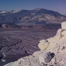
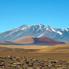
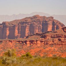
The name Colorados refers to the reddish colour of the mountain, and the surrounding high plateau is called the Meseta de los Colorados. The range running north to south along the Chile-Argentina border is the Sierra de los Colorados. Some maps also label the peak Cumbre Negra.
Visitors should prepare for extreme elevation and cold conditions, especially at night or during winter months. Limited infrastructure and sparse water sources mean that thorough preparation and local guidance are essential.
Cerro Colorado is one of three peaks of the Sairecabur volcanic group, together with Cerro Curiquinca immediately to its east and Volcán Escalante (El Apagado) to its southeast. The Spanish Wikipedia lists a summit of 6,080 m and the alternative name Cumbre Negra, and notes that although the mountain is entirely Chilean, some maps place it south of border pass No. 33 on the Meseta de los Colorados.
The community of curious travelers
AroundUs brings together thousands of curated places, local tips, and hidden gems, enriched daily by 92,648 contributors worldwide.