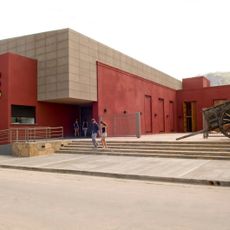
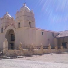
Antofagasta de la Sierra, Volcanic region in Catamarca Province, Argentina.
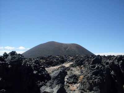
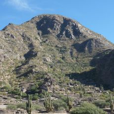
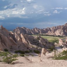
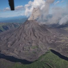
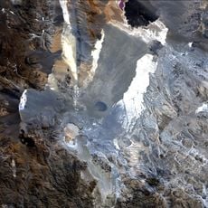
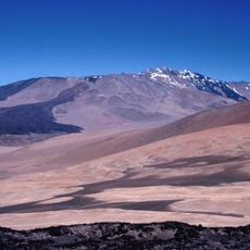
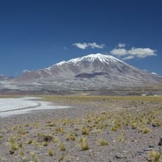
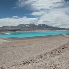
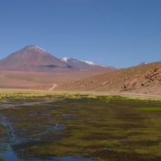
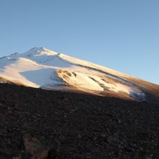
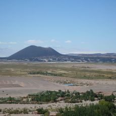
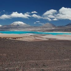
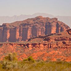
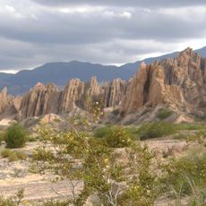
Antofagasta de la Sierra is a high-altitude settlement surrounded by a vast volcanic landscape containing over two hundred volcanoes in the Catamarca Puna. The most striking feature is the Galan caldera, a massive volcanic complex with sharp, eroded walls.
The area was originally home to Atacameño peoples and became part of the Salta del Tucumán Intendancy within the Viceroyalty of Rio de la Plata in 1780. This colonial reorganization reshaped territorial boundaries while local communities continued their traditional lifeways.
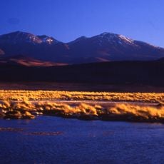
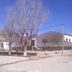
Local families practice herding and farming in ways their ancestors developed over centuries, with strong ties to the land and traditional knowledge. This way of life shapes how the community moves through the landscape.
This remote high-altitude region requires substantial travel from regional centers and sits in sparsely populated terrain with limited services nearby. Visitors should plan for significant travel time and prepare for extreme conditions typical of high-altitude plateaus.
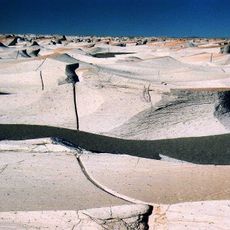
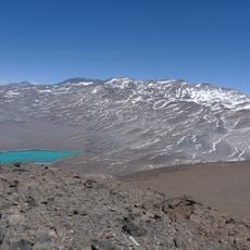
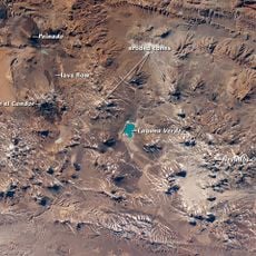
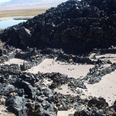
The Campo de Piedra Pómez features ancient rock carvings at Peñas Coloradas left by earlier inhabitants of the region. Nearby, the Laguna Blanca Reserve draws thousands of pink flamingos that gather at this high-altitude wetland.
The community of curious travelers
AroundUs brings together thousands of curated places, local tips, and hidden gems, enriched daily by 60,000 contributors worldwide.