Mirador Monumento Natural Angastaco, Scenic viewpoint in Angastaco, Argentina
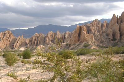
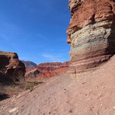
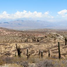
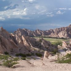
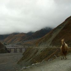
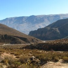
The Mirador Monumento Natural Angastaco sits at roughly 1926 meters elevation and overlooks the Calchaquí Valley with its mineral-streaked mountain slopes. The viewpoint was developed to take in these landscapes from the best vantage points, with wooden signs pointing out notable rock formations along the route.
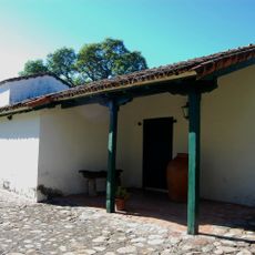
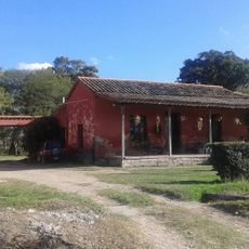
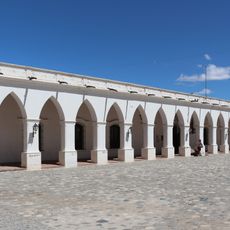
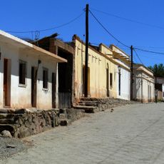
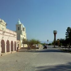
Indigenous peoples established settlements in this region during the 18th century, drawing on resources from the Franciscan Mission of Calchaquí Rosario. The area became a meeting point between indigenous ways and Spanish colonial influence.
The name Angastaco comes from an indigenous language meaning Eagle of the Carob tree, showing how local communities tied their world to the land around them. Walking here, you sense how deeply this place was woven into the lives of those who lived in these valleys.
The viewpoint has parking areas and allows camping nearby, making it easy to spend time there. The road leading up is well marked and accessible by vehicle, so getting there by car is straightforward.
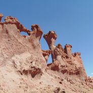
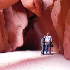
The rock formations around the viewpoint show patterns created by an ancient lake, giving them a lunar appearance. This unusual terrain makes every visit feel different from typical overlooks.
Location: Angastaco
GPS coordinates: -25.68792,-66.15069
Latest update: December 6, 2025 19:09
Northwest Argentina is a region where deserts, wine regions and Andean valleys coexist. Salt flats, striking rock formations, pre-Columbian sites and traditional mountain villages define this landscape. The terrain shifts between bare highlands, colorful mountain ranges and green valleys where small...
Quebrada de las Conchas
50.4 km
Ruins of Quilmes
87.1 km
Los Cardones National Park
62.7 km
Yatasto relay
121 km
Cabra Corral Reservoir
90.4 km
Galán
83 km
Quebrada de las Flechas
1.9 km
Quebrada del Toro
111.3 km
Cuevas de Acsibi
39.8 km
Museo Pachamama
102.8 km
Fray Honorato Pistoia Stadium
124.1 km
Vine and Wine Museum
46.6 km
Parque provincial Cumbres Calchaquíes
104.2 km
Our Lady of Rosary Cathedral, Cafayate
46.2 km
Caverna Puente del Diablo
102.6 km
Convention Center, Salta
119.7 km
Isla de los Deseos
79.4 km
Capilla de Chamical
121.1 km
Archaeological Museum of Cachi
63.2 km
Iglesia del Valle
124.3 km
El Carmen de Güemes
118.8 km
El Toro Viaduct
100.8 km
Iglesia San Pedro Nolasco de los Molinos
31.2 km
Iglesia de San José en Cachi
63.3 km
Museo Arqueológico Pío Pablo Díaz
63.2 km
Areas del Pueblo de Cachi
63.3 km
Areas del Pueblo de San Carlos
31.9 km
Areas del Pueblo de Molinos
31.2 kmVisited this place? Tap the stars to rate it and share your experience / photos with the community! Try now! You can cancel it anytime.
Discover hidden gems everywhere you go!
From secret cafés to breathtaking viewpoints, skip the crowded tourist spots and find places that match your style. Our app makes it easy with voice search, smart filtering, route optimization, and insider tips from travelers worldwide. Download now for the complete mobile experience.
A unique approach to discovering new places❞
— Le Figaro
All the places worth exploring❞
— France Info
A tailor-made excursion in just a few clicks❞
— 20 Minutes