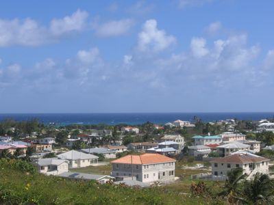
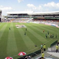
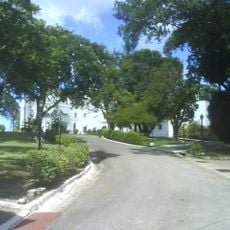
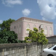
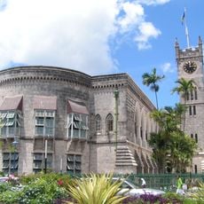
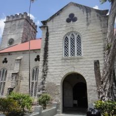
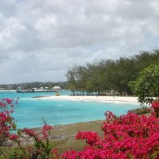
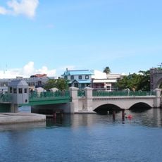
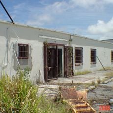
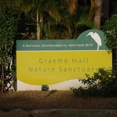
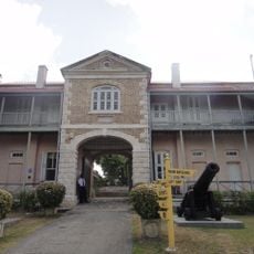
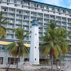
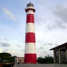
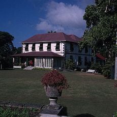
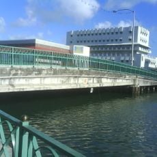
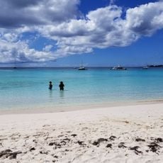
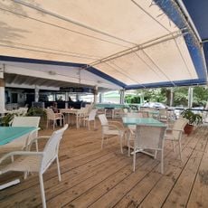
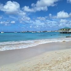
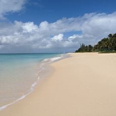
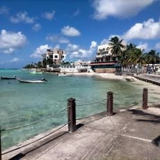
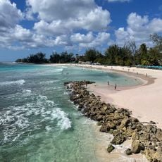
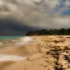
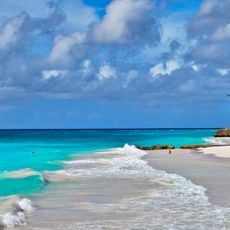
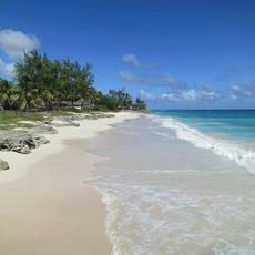
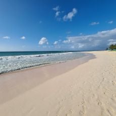
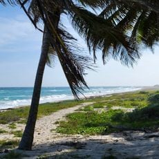
Christ Church, parish area in Barbados
Location: Barbados
Inception: 1627
Elevation above the sea: 88 m
Shares border with: Saint Philip, Saint George, Saint Michael
GPS coordinates: 13.08333,-59.53333
Latest update: March 3, 2025 09:55
Kensington Oval
10 km
State House, Barbados
7.5 km
Nidhe Israel Synagogue
9.1 km
Ilaro Court
6.1 km
Garrison Historic Area
8.9 km
Bussa Emancipation Statue
5.6 km
Parliament Buildings
8.9 km
Cathedral Church of Saint Michael and All Angels, Barbados
8.7 km
Miami Beach, Barbados
2.7 km
Chamberlain Bridge
8.8 km
HM Glendairy Prison
8.1 km
Graeme Hall Nature Sanctuary
5 km
Barbados Museum & Historical Society
7.5 km
Needham's Point Lighthouse
8.4 km
South Point Lighthouse
4.1 km
Francia Great House
7.6 km
Charles Duncan O'Neal Bridge
8.7 km
Carlisle Bay
8.7 km
Sandy Beach
5.2 km
Bayshore Beach
8.3 km
Brandons Beach
10.8 km
Dover Beach
4.3 km
Rockley Beach
6.1 km
Chancery Lane Swamp
4.2 km
Worthing Beach
5.6 km
Silver Sands Beach
4.4 km
Maxwell Beach
3.7 km
Long Bay Beach
4.5 kmVisited this place? Tap the stars to rate it and share your experience / photos with the community! Try now! You can cancel it anytime.
Discover hidden gems everywhere you go!
From secret cafés to breathtaking viewpoints, skip the crowded tourist spots and find places that match your style. Our app makes it easy with voice search, smart filtering, route optimization, and insider tips from travelers worldwide. Download now for the complete mobile experience.
A unique approach to discovering new places❞
— Le Figaro
All the places worth exploring❞
— France Info
A tailor-made excursion in just a few clicks❞
— 20 Minutes