Enable Location

We need your location to show you interesting places around you

Discover nearby places

Find interesting locations and hidden gems around you

Precise directions

Get accurate directions and distances to places

Your location is never shared with other users. It's only used when you tap the location button.

Omodos

Log in to your account

Start exploring — it's free

Trusted by 61,440 travelers worldwide

Continue with Google
Continue with Apple
or

We will send you a code to connect

By continuing, you accept our Terms and Conditions and our Privacy Policy

Check your inbox

We've sent a pincode in your inbox. Please enter the code below.

Omodos

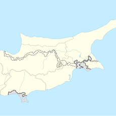
Omodos, Mountain village in Limassol District, Cyprus

Description

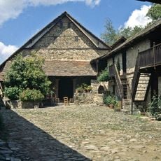
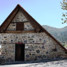
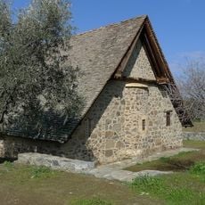
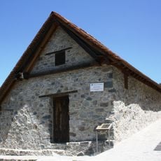
Omodos is a mountain village situated at 810 meters elevation in the Troodos Mountains along the western bank of the Ha Potami River, flanked by peaks reaching 1153 meters. The settlement features stone-built houses with narrow winding paths that maintain the traditional layout of a highland village community.

History

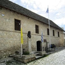
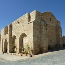
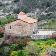
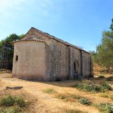
The settlement originated during the Byzantine period near the Holy Cross Monastery after two earlier communities called Pano and Kato Koupetra were dissolved. Its wine-making tradition grew over centuries and eventually attracted external attention from regional leaders interested in its production.

Culture

Wine production is central to village life, with traditional cellars and local producers scattered throughout its stone-paved streets where you can see and taste regional wines.

Practical

The village connects via mountain roads to nearby settlements, with terrain that can be steep and winding in places. Visiting on foot works best since the narrow streets and slopes make walking the most practical way to experience the village.

Did you know?

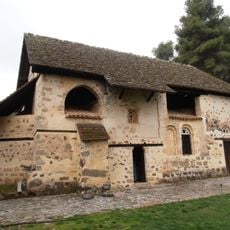
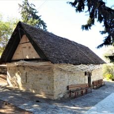
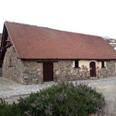
A medieval winepress near the monastery shows how ancient wine-making is in this location and explains why regional powers became interested in its output. This tool, preserved from earlier centuries, represents the foundation of a craft that continues today.

Elevation above the sea
575 m
Part of
Limassol District
Shares border with
Vouni, Koilani, Mandria, Limassol, Kato Platres, Foini, Potamiou, Vasa Koilaniou, Agios Nikolaos, Arsos, Limassol
GPS coordinates
34.84823,32.80842
Latest update
December 6, 2025 16:04

AroundUs brings together thousands of curated places, local tips, and hidden gems, enriched daily by 60,000 contributors worldwide. Discover all places nearby (Limassol District).

Photography locations in Cyprus

Cyprus offers a range of locations for photography that blend history, nature, and architecture. The island presents ancient ruins such as the archaeological parks of Paphos and the sanctuary of Kourion, medieval castles including Saint Hilarion and Kolossi, and churches dating to the Byzantine...

« Omodos - Mountain village in Limassol District, Cyprus » is provided by Around Us (aroundus.com). Images and texts are derived from Wikimedia project under a Creative Commons license. You are allowed to copy, distribute, and modify copies of this page, under the conditions set by the license, as long as this note is clearly visible.

Discover hidden gems everywhere you go!

From secret cafés to breathtaking viewpoints, skip the crowded tourist spots and find places that match your style. Our app makes it easy with voice search, smart filtering, route optimization, and insider tips from travelers worldwide. Download now for the complete mobile experience.

Around Us App Screenshot

A unique approach to discovering new places

Le Figaro

All the places worth exploring

France Info

A tailor-made excursion in just a few clicks

20 Minutes

Around Us
Travel Guide & Maps
Download

Send to your phone

QR Code
1

Open the camera app on your mobile.

2

Point at the QR code with your camera. A notification will appear.

3

Tap the notification to open the link.