
Las Matas de Alí, Strand in der Westsahara
Location: Western Sahara
Elevation above the sea: 7 m
GPS coordinates: 26.21667,-14.43333
Latest update: March 21, 2025 08:12
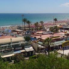
Playa del Inglés
205.1 km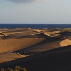
Maspalomas Dunes
204.6 km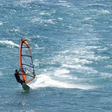
Pozo Izquierdo
204.2 km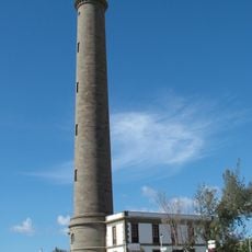
Maspalomas Lighthouse
204.7 km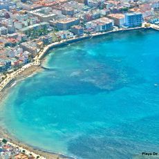
Playa de Arinaga
205.7 km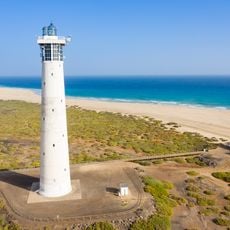
Morro Jable Lighthouse
203.9 km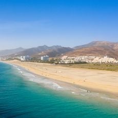
Playa del Matorral
203.5 km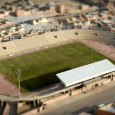
Stade Sheikh Mohamed Laghdaf
161.1 km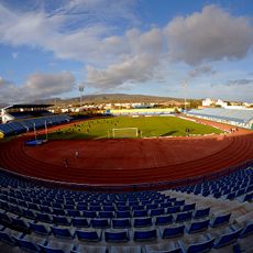
Estadio Municipal de Maspalomas
206.8 km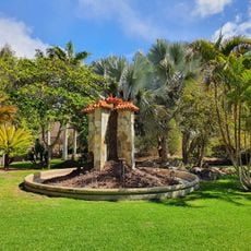
Parque Botánico de Maspalomas
206.3 km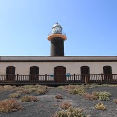
Punta Jandía Lighthouse
206 km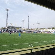
Estadio Municipal de Vecindario
207.6 km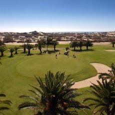
Maspalomas Golf
205.7 km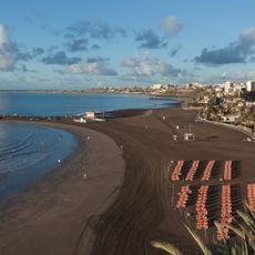
San Agustín
204.8 km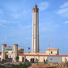
Boujdour lighthouse
11.6 km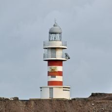
Punta de Arinaga Lighthouse
206.2 km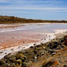
Juncalillo de Sur
204.9 km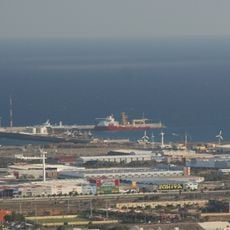
Port of Arinaga
205 km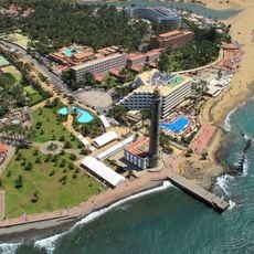
Maspalomas
203.9 km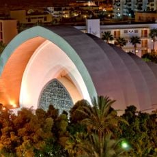
Templo Ecuménico El Salvador, Playa del Inglés
205.4 km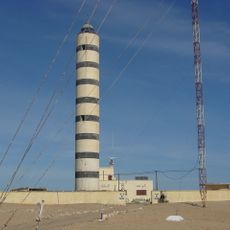
Faro de Cabo Cinq
34.4 km
Playa de los Ojos
207.9 km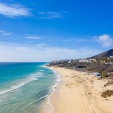
Playa de Esquinzo-Butihondo
206.9 km
Playa del Inglés
205 km
Charco de Maspalomas
204.8 km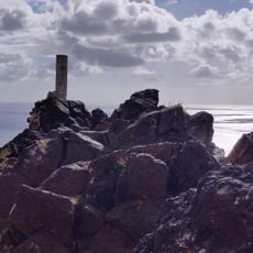
Aguda
206.5 km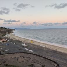
Playa del Esquinzo
207 km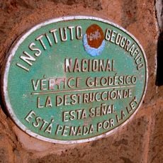
Trig point's Signal of Faro de Maspalomas
204.8 kmReviews
Visited this place? Tap the stars to rate it and share your experience / photos with the community! Try now! You can cancel it anytime.
Discover hidden gems everywhere you go!
From secret cafés to breathtaking viewpoints, skip the crowded tourist spots and find places that match your style. Our app makes it easy with voice search, smart filtering, route optimization, and insider tips from travelers worldwide. Download now for the complete mobile experience.

A unique approach to discovering new places❞
— Le Figaro
All the places worth exploring❞
— France Info
A tailor-made excursion in just a few clicks❞
— 20 Minutes