Chest opened
+${chestReward.xp} XP
Explorer
NOUVEAU ×${chestReward.collectible.quantity}
tapez pour fermer

See the monuments around you in AR Open chests in the app

Around Us is built for your phone — point your camera at the streets and discover the monuments and places around you in augmented reality. Around Us is built for your phone — chests unlock when you walk, explore and capture nearby places.

Enable Location

We need your location to show you interesting places around you

Discover nearby places

Find interesting locations and hidden gems around you

Precise directions

Get accurate directions and distances to places

Your location is never shared with other users. It's only used when you tap the location button.

Pulap

Log in to your account

Start exploring — it's free

Trusted by 86,252 travelers worldwide

Continue with Google
Continue with Apple
or

We will send you a code to connect

By continuing, you accept our Terms and Conditions and our Privacy Policy

Check your inbox

We've sent a pincode in your inbox. Please enter the code below.

Discussion Reviews 1 Photos
2.9k Popularity

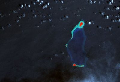
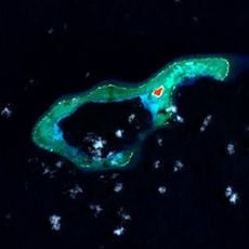
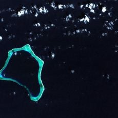
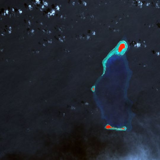
Pulap, Coral atoll and municipality in Chuuk, Federated States of Micronesia

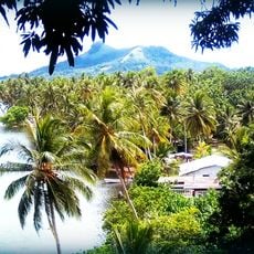
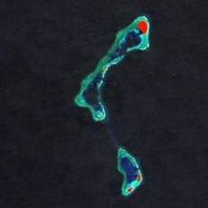
Pulap is a coral atoll in Chuuk composed of several small islands positioned around a shallow lagoon area. The island group is surrounded by reef structures and spreads across a wide marine environment with limited elevation.

The atoll was first recorded by a Spanish navigator in 1565, and later Spanish maritime charts gave it a different name based on their own traditions. Colonial-era documentation shaped how this place appeared on maps for centuries.

Local people have practiced traditional fishing for generations and maintain deep connections to the ocean, relying on marine resources as their primary way of life. Their knowledge of the sea and fishing techniques is passed down within families and shapes how the community functions daily.

The atoll is accessible only by boat, and visitors should prepare for limited transportation options and variable sea conditions. Planning ahead is essential since this location sits far from main population centers and regular travel routes.

In 2016, three shipwrecked sailors created a large help signal using palm leaves on one of the islands, which led to their swift rescue by passing forces. This unusual incident reveals just how remote and isolated the atoll truly is.

The community of curious travelers

AroundUs brings together thousands of curated places, local tips, and hidden gems, enriched daily by 60,000 contributors worldwide.
Start exploring
Location
GPS coordinates
7.63830,149.42940
Latest update
September 12, 2026 22:15
Around this place
Mount Lamlam
United States of America

Mount Lamlam

510.2 mi
War in the Pacific National Historical Park
United States of America

War in the Pacific National Historical Park

508.1 mi
Plaza de España
United States of America

Plaza de España

513.8 mi
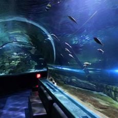
UnderWater World Guam
Guam

UnderWater World Guam

513.7 mi
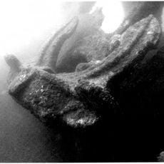
Aratama Maru
United States of America

Aratama Maru

505.7 mi
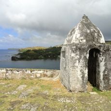
Fort Nuestra Señora de la Soledad
United States of America

Fort Nuestra Señora de la Soledad

508.2 mi
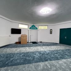
An-Noor Mosque
Guam

An-Noor Mosque

509.9 mi
United States of America

Mount Bolanos

507.2 mi
Piagailoe
Micronesia (Federated States of)

Piagailoe

212.9 mi
United States of America

Talofofo Bay

505.8 mi
Cetti Bay
United States of America

Cetti Bay

509.6 mi
Olimarao
Micronesia (Federated States of)

Olimarao

244 mi
United States of America

Umatac Outdoor Library

508.4 mi
Agat Invasion Beach
United States of America

Agat Invasion Beach

513.2 mi
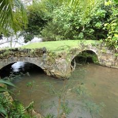
Taleyfac Spanish Bridge
United States of America

Taleyfac Spanish Bridge

512.3 mi
United States of America

Fort Santo Angel

508.5 mi
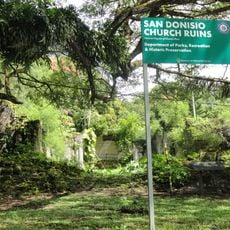
San Dionisio Church Ruins
United States of America

San Dionisio Church Ruins

508.3 mi
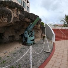
Dungcas Beach Defense Guns
United States of America

Dungcas Beach Defense Guns

513.8 mi
Agana Historic District
United States of America

Agana Historic District

513.3 mi
Minto Reef
Micronesia (Federated States of)

Minto Reef

338 mi
Tonnachau Mountain
Micronesia (Federated States of)

Tonnachau Mountain

166.4 mi
Lamolior
Micronesia (Federated States of)

Lamolior

226.6 mi
As Sombreru Pillboxes
United States of America

As Sombreru Pillboxes

513.6 mi
Mount Jumullong Manglo
United States of America

Mount Jumullong Manglo

509.5 mi
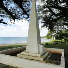
Magellan Monument
United States of America

Magellan Monument

508.3 mi
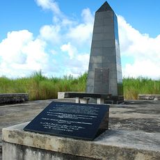
Korean Air Flight 801 Memorial
United States of America

Korean Air Flight 801 Memorial

513.6 mi
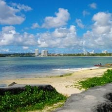
Trinchera Beach
United States of America

Trinchera Beach

513.5 mi
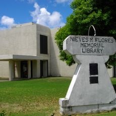
Nieves M. Flores Memorial Library
United States of America

Nieves M. Flores Memorial Library

513.7 mi
Show the full map
Reviews
Share your experience

No review yet

Discussions
Start a discussion...

No discussion yet

« Pulap - Coral atoll and municipality in Chuuk, Federated States of Micronesia » is provided by Around Us (aroundus.com). Images and texts are derived from Wikimedia project under a Creative Commons license. You are allowed to copy, distribute, and modify copies of this page, under the conditions set by the license, as long as this note is clearly visible.

Discover hidden gems everywhere you go!

From secret cafés to breathtaking viewpoints, skip the crowded tourist spots and find places that match your style. Our app makes it easy with voice search, smart filtering, route optimization, and insider tips from travelers worldwide. Download now for the complete mobile experience.

Around Us App Screenshot

A unique approach to discovering new places

Le Figaro

All the places worth exploring

France Info

A tailor-made excursion in just a few clicks

20 Minutes

Around Us
Travel Guide & Maps
Download

Send to your phone

QR Code
1

Open the camera app on your mobile.

2

Point at the QR code with your camera. A notification will appear.

3

Tap the notification to open the link.