Enable Location

We need your location to show you interesting places around you

Discover nearby places

Find interesting locations and hidden gems around you

Precise directions

Get accurate directions and distances to places

Your location is never shared with other users. It's only used when you tap the location button.

Suðuroy

Log in to your account

Start exploring — it's free

Trusted by 62,374 travelers worldwide

Continue with Google
Continue with Apple
or

We will send you a code to connect

By continuing, you accept our Terms and Conditions and our Privacy Policy

Check your inbox

We've sent a pincode in your inbox. Please enter the code below.

Suðuroy

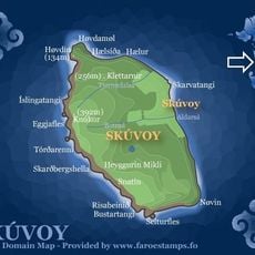
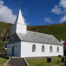
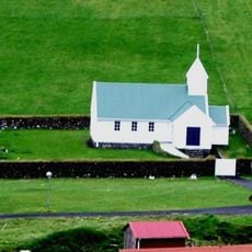
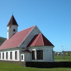
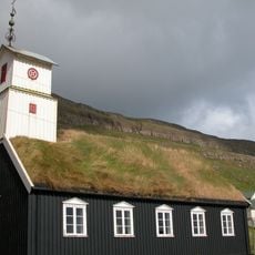
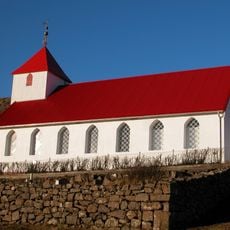
Suðuroy, Mountainous island in Faroe Islands

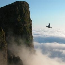
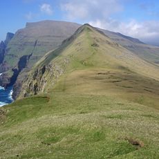
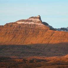
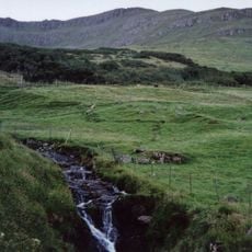
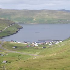
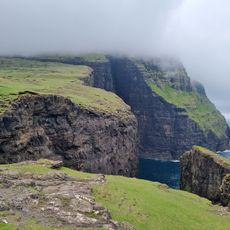
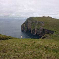
Suðuroy is a mountainous island in the Faroe Islands featuring steep sea cliffs that rise about 200 meters (656 feet) above the water. The landscape includes narrow valleys, hidden lakes, and Gluggarnir peak, which reaches 610 meters (2,001 feet) in elevation.

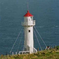
A LORAN navigation station at Eggjarnar cliffs operated here from World War II until 1977, supporting British military activities in the North Atlantic. This installation was part of broader wartime and Cold War infrastructure in the region.

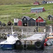
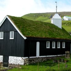
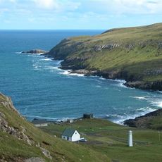
Fishing communities here developed traditions of harvesting seabird eggs and catching seabirds by descending the sheer cliffs with ropes, a practice that shaped local identity for centuries. These methods reflect how inhabitants adapted to and lived with the dramatic landscape around them.

The M/F Smyril ferry connects the main town to Tvøroyri with multiple departures daily, taking about two hours to cross the waters. Weather conditions can change quickly, so travelers should dress in layers and be prepared for wet conditions.

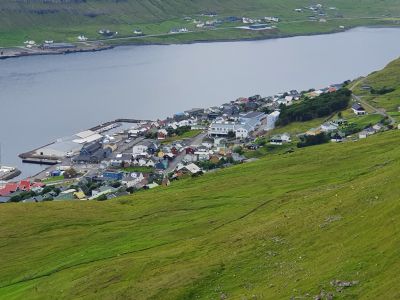
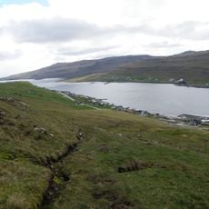
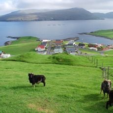
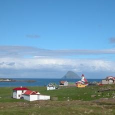
The village of Sumba holds the position of the southernmost settlement in the Faroe Islands and sits in a location frequently shrouded in dense Atlantic fog. This isolation gives the place a quiet, remote character that emphasizes the island's rugged nature.

The community of curious travelers

AroundUs brings together thousands of curated places, local tips, and hidden gems, enriched daily by 60,000 contributors worldwide.

Start exploring
Location
Location
Location
Location
Capital city
Tvøroyri
Elevation above the sea
610 m
Part of
Faroe Islands
Address
Suðuroy, Faroe Islands
GPS coordinates
61.53333,-6.85000
Latest update
December 6, 2025 16:02
Wild scenery and coastal villages of the Faroe Islands: waterfalls, steep cliffs, traditional houses

In the Faroe Islands, nature shows all its strength. Waterfalls fall directly into the ocean, cliffs rise sharply toward the sky, and lakes hide high in the mountains. Everywhere, water and rock shape the land. Sorvagsvatn lake surprises with its place between sky and sea, while the rocks of...

« Suðuroy - Mountainous island in Faroe Islands » is provided by Around Us (aroundus.com). Images and texts are derived from Wikimedia project under a Creative Commons license. You are allowed to copy, distribute, and modify copies of this page, under the conditions set by the license, as long as this note is clearly visible.

Discover hidden gems everywhere you go!

From secret cafés to breathtaking viewpoints, skip the crowded tourist spots and find places that match your style. Our app makes it easy with voice search, smart filtering, route optimization, and insider tips from travelers worldwide. Download now for the complete mobile experience.

Around Us App Screenshot

A unique approach to discovering new places

Le Figaro

All the places worth exploring

France Info

A tailor-made excursion in just a few clicks

20 Minutes

Around Us
Travel Guide & Maps
Download

Send to your phone

QR Code
1

Open the camera app on your mobile.

2

Point at the QR code with your camera. A notification will appear.

3

Tap the notification to open the link.