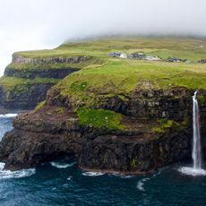
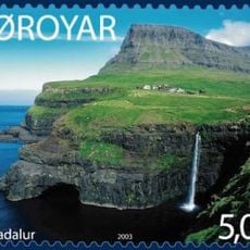
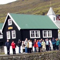
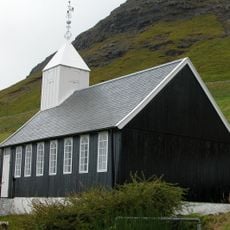
Gásadalur, Remote village in Vágar Island, Faroe Islands
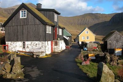
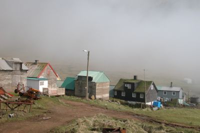
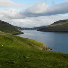
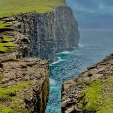
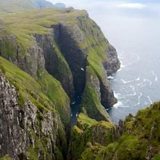
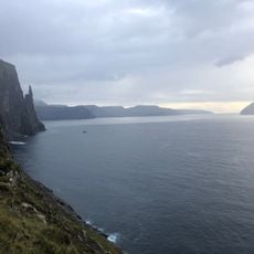
Gásadalur is a village on Vágar Island in the Faroe Islands, nestled between steep mountains that shape its rugged landscape. Towering peaks like Árnafjall and Eysturtindur dominate the surroundings, creating a confined valley setting.
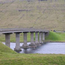
Before 2004, residents relied on mountain climbing or helicopter rides to access other settlements in the region. The construction of Gásadalstunnilin tunnel transformed this remote outpost by finally connecting it to the road network.
The name Gásadalur comes from Norse words meaning goose and valley, reflecting the wild geese that once inhabited this region.
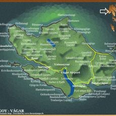
The village is accessible via a 1.4-kilometer mountain tunnel from Vágar Airport with a journey of around 20 minutes by car. Weather conditions can change rapidly due to the steep mountain terrain, so visitors should prepare accordingly.
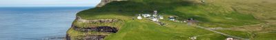
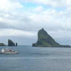
The Múlafossur waterfall plunges directly into the North Atlantic beside the village, creating a dramatic natural display against coastal cliffs. This spectacular sight attracts photographers and remains one of the most striking features of this remote coastal setting.
The community of curious travelers
AroundUs brings together thousands of curated places, local tips, and hidden gems, enriched daily by 60,000 contributors worldwide.