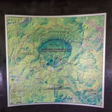
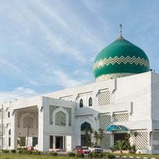
Tanjung Selor, district and capital of Bulungan Regency and North Kalimantan Province, Indonesia
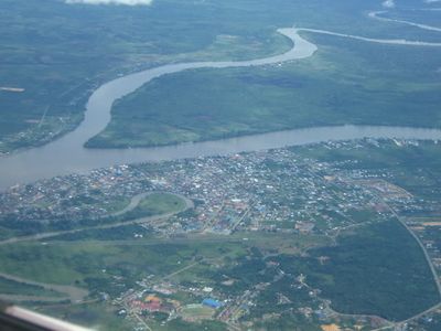
Tanjung Selor is the capital of Bulungan Regency, located on the coast of East Kalimantan along the Kayan River. The town spreads across a flat landscape with mixed-use areas for commerce, housing, and port facilities that serve regional shipping.
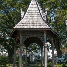
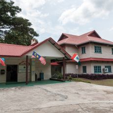
The town developed as a trading post and administrative hub during the colonial period when the region's resources became important for commerce. It grew into a key port for timber and spice trade that connected inland areas to broader maritime networks.
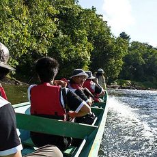
The town is accessible by air and offers basic facilities including accommodations and eating places for visitors. Plan for slow travel as many routes are covered on foot or by local boats along the river and coastal areas.
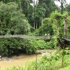
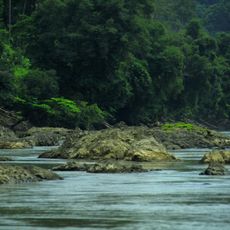
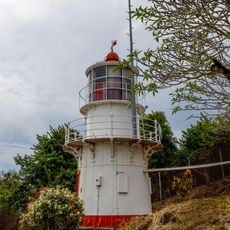
The town serves as a gateway to the inland rainforest, with many visitors boarding river boats here to reach remote villages and natural areas deeper within the region. This network of waterways links the coastal trading hub to untouched settlements in the interior.
The community of curious travelers
AroundUs brings together thousands of curated places, local tips, and hidden gems, enriched daily by 60,000 contributors worldwide.