Geography of Kiribati, étude du territoire kiribatien
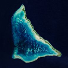
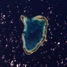
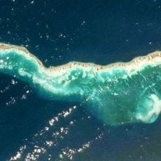
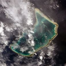
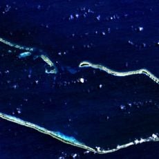
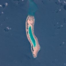
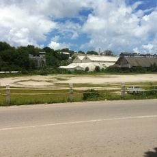
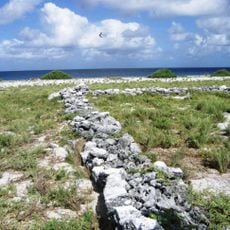
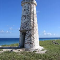
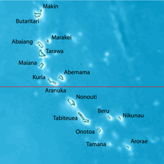
The geography of Kiribati consists of 33 atolls and reef islands scattered across roughly 3.5 million square kilometers of the Pacific Ocean. The total land area measures only about 811 square kilometers, with most islands lying just meters above sea level, except for Banaba Island, which rises to about 81 meters at its highest point.
The islands were first settled by Polynesian peoples centuries ago, later visited by European explorers, and eventually became part of various colonial empires. Kiribati gained independence in the 1970s and in 1995 moved the international date line to ensure all its territory shares the same calendar date.
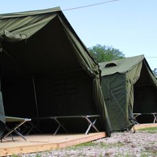
Most islands are accessible only by boat or small aircraft due to the vast distances between them. The warm climate allows water activities year-round, but visitors should prepare for sudden rain showers and the cyclone season from November through March.
The country spans all four hemispheres, which is extraordinarily rare for any nation, with islands located to the north, south, east, and west simultaneously. This unusual distribution made Kiribati the first country to welcome the new millennium on January 1, 2000, after relocating the date line.
The community of curious travelers
AroundUs brings together thousands of curated places, local tips, and hidden gems, enriched daily by 60,000 contributors worldwide.