Geography of Saint Lucia, Geography of the island country Saint Lucia
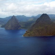
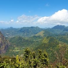
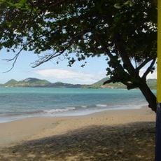
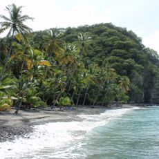
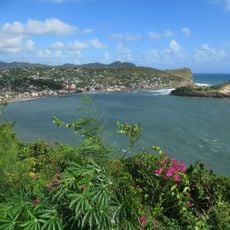
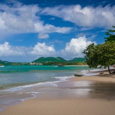
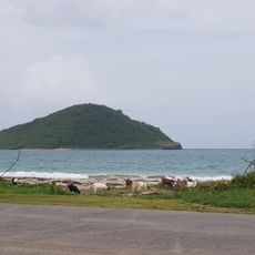
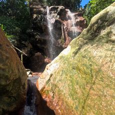
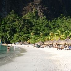
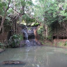
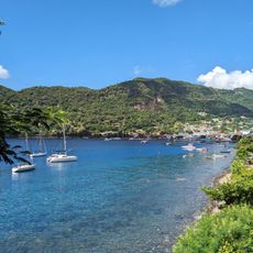
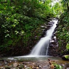
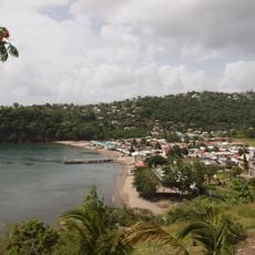
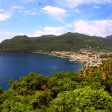
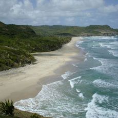
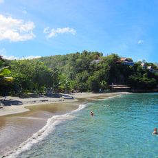
The geography of Saint Lucia covers the natural features of this island in the Lesser Antilles, shaped by volcanic forces. The interior is covered with rainforest and deep valleys, while the coast alternates between sandy beaches and steep cliffs.
Saint Lucia was settled first by the Arawak and later by the Caribs before Europeans arrived in the 17th century. The island then passed between French and British control many times over more than 150 years before gaining independence in 1979.
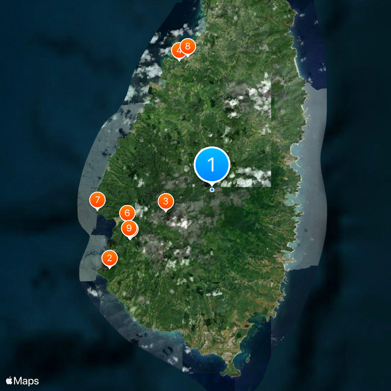
The Pitons, two pointed volcanic peaks rising from the sea in the southwest, appear on the national flag and are the most recognized image of the island. Visitors will find their shape repeated on signs, local products, and artwork throughout the country.
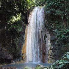
The months from December to April tend to be drier and easier for exploring, while the rainy season from June to November can make trails muddy and harder to walk. Sturdy shoes are a good idea for anyone heading inland or into the hills, as paths can be steep and slippery.
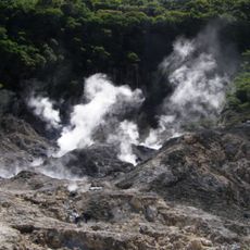
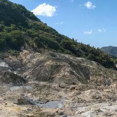
Saint Lucia is home to one of the few drive-in volcanoes in the world, the Sulphur Springs near Soufrière, where visitors can drive right up to active geothermal vents. The ground there shifts in color from grey to yellow and gives off a strong sulfur smell, making it one of the most unusual spots on the island.
The community of curious travelers
AroundUs brings together thousands of curated places, local tips, and hidden gems, enriched daily by 60,000 contributors worldwide.