Enable Location

We need your location to show you interesting places around you

Discover nearby places

Find interesting locations and hidden gems around you

Precise directions

Get accurate directions and distances to places

Your location is never shared with other users. It's only used when you tap the location button.

Hinterstoder

Log in to your account

Start exploring — it's free

Trusted by 62,593 travelers worldwide

Continue with Google
Continue with Apple
or

We will send you a code to connect

By continuing, you accept our Terms and Conditions and our Privacy Policy

Check your inbox

We've sent a pincode in your inbox. Please enter the code below.

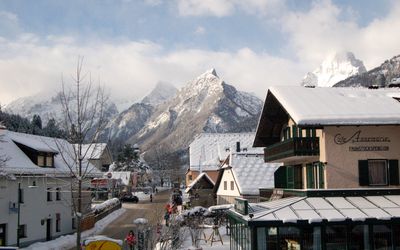
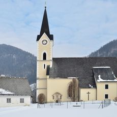
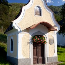
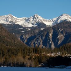
Hinterstoder, Mountain village in Kirchdorf District, Austria

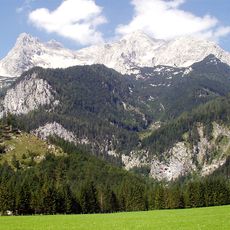
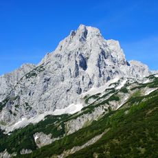
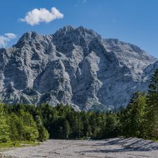
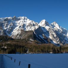
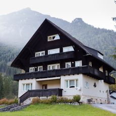
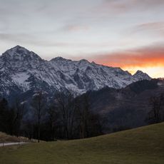
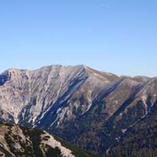
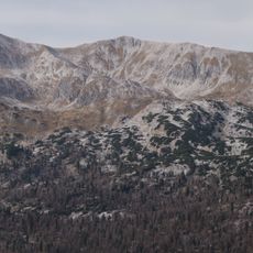
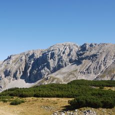
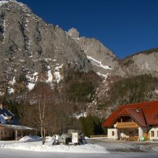
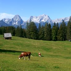
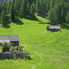
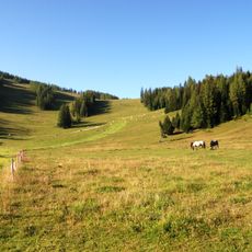
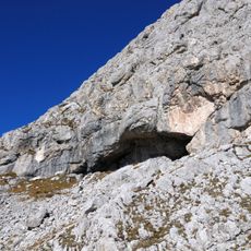
Hinterstoder is a municipality in Kirchdorf District situated at 591 meters elevation and surrounded by mountain peaks including Grosser Priel, Kleiner Priel, Spitzmauer, and Warscheneck. The settlement spreads across four distinct villages: Hinterberg, Hinterstoder, Mitterstoder, and Hintertambergau.

The settlement first appeared in documents from 1240 as Stoder, a name of Slavic origin meaning cold or stony ground. A railway connection built in 1906 linked this municipality to neighboring regions and supported its development.

The name comes from Slavic roots and reflects the early inhabitants who settled in this mountain region. Visitors today can explore the village layout that still mirrors these ancient settlement patterns.

The municipality is easily reached by railway thanks to the connection established since 1906. For visitors wanting to explore the different villages, it helps to plan time for moving between the four settlements.

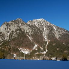
A World Cup ski slope about 2,250 meters long was built in 2004 using natural terrain features with steep gradients reaching 60 percent. This run attracts competitive skiers and makes the area a notable winter sports destination.

The community of curious travelers

AroundUs brings together thousands of curated places, local tips, and hidden gems, enriched daily by 60,000 contributors worldwide.

Start exploring
Elevation above the sea
591 m
Shares border with
Grünau im Almtal, Klaus an der Pyhrnbahn, Sankt Pankraz, Vorderstoder, Liezen, Wörschach, Stainach-Pürgg, Bad Mitterndorf, Grundlsee
GPS coordinates
47.69639,14.14944
Latest update
December 20, 2025 11:28
« Hinterstoder - Mountain village in Kirchdorf District, Austria » is provided by Around Us (aroundus.com). Images and texts are derived from Wikimedia project under a Creative Commons license. You are allowed to copy, distribute, and modify copies of this page, under the conditions set by the license, as long as this note is clearly visible.

Discover hidden gems everywhere you go!

From secret cafés to breathtaking viewpoints, skip the crowded tourist spots and find places that match your style. Our app makes it easy with voice search, smart filtering, route optimization, and insider tips from travelers worldwide. Download now for the complete mobile experience.

Around Us App Screenshot

A unique approach to discovering new places

Le Figaro

All the places worth exploring

France Info

A tailor-made excursion in just a few clicks

20 Minutes

Around Us
Travel Guide & Maps
Download

Send to your phone

QR Code
1

Open the camera app on your mobile.

2

Point at the QR code with your camera. A notification will appear.

3

Tap the notification to open the link.