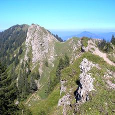
Eineguntkopf, Mountain summit at Austrian-German border in Allgäu Alps.
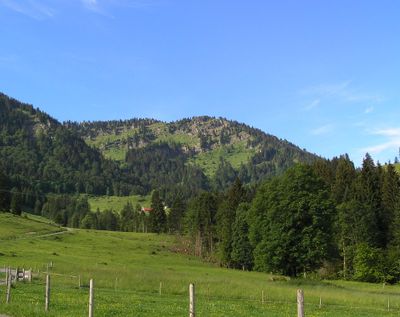
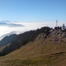
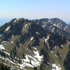
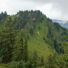
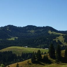
Eineguntkopf is a mountain summit in the Allgäu Alps that rises to 1639 meters (5377 feet) and forms a natural border between Vorarlberg in Austria and Bavaria in Germany. It sits within the Nagelfluhkette Nature Park and can be reached via marked trails and ski lift infrastructure.
The mountain received two names from its neighboring Alpine pastures: Eineguntkopf from the Austrian side and Rohnehöhe from the German side, reflecting its border position. This dual naming records how the mountain has been divided between two regions since people began naming its slopes.
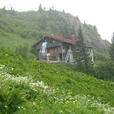
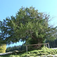
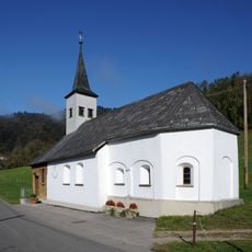
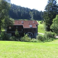
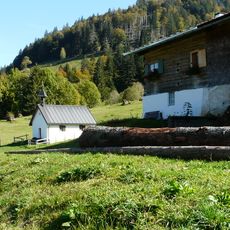
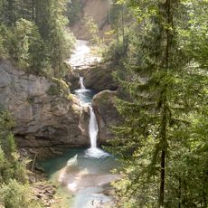
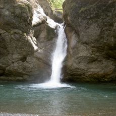
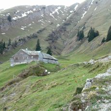
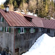
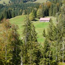
Alpine farms on the Austrian and German slopes continue seasonal grazing traditions, with herders moving livestock to high meadows during warmer months. These practices shape how the landscape looks and how people work within it today.
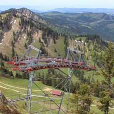
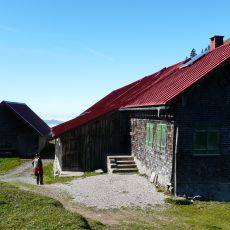
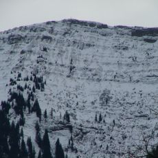
In winter, skiers use the Falkenhütte lift to access the ridge, while summer brings marked hiking trails to nearby peaks. The summit can be breezy and weather changes quickly, so bring layers and sturdy footwear, especially for narrow ridge sections.
The summit has an unusually broad shape for its height and is marked only by a simple sign rather than a traditional mountain cross or monument. This modest appearance sets it apart from many other well-known Alpine peaks.
The community of curious travelers
AroundUs brings together thousands of curated places, local tips, and hidden gems, enriched daily by 60,000 contributors worldwide.