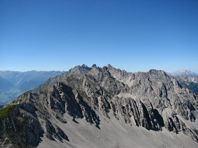
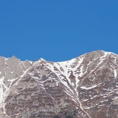
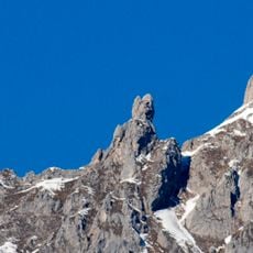
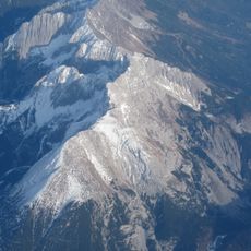
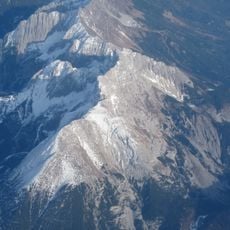
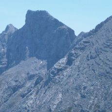
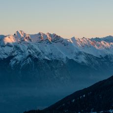
Nordkette, Mountain range in Tyrol, Austria.
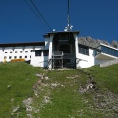
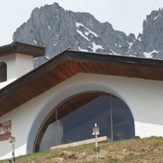
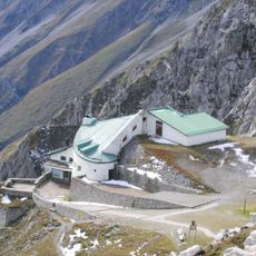
The Nordkette is a mountain range stretching across the northern side of Innsbruck, forming a dramatic boundary between the valley and the higher elevations. The range features limestone peaks at varying heights and is accessed by a cable car system with multiple stations serving different zones.
The range formed through geological processes and always served as a natural barrier separating settlements in the Inn Valley below. In the 19th century, this isolation changed when infrastructure projects finally connected the valley to the mountain areas.
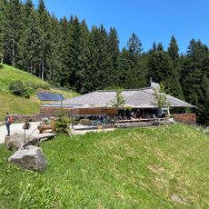
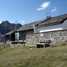
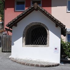
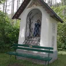
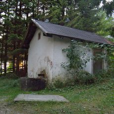
The range has shaped local identity as a natural meeting point for climbers and outdoor enthusiasts from the surrounding area. People use the trails and slopes not only for sports but also as a refuge to experience the surrounding landscape.
The best time to visit is in the warmer months when trails are dry and visibility is clear, though winter activities are also available. The cable car system starts from the city and saves long hikes, especially if you want to explore higher-elevation trails.
The range hosts rare plant species adapted to extreme conditions that are found almost nowhere else in the region. This vegetation has adapted over thousands of years to the altitude and harsh winds, showing the biological variety of the Alps.
The community of curious travelers
AroundUs brings together thousands of curated places, local tips, and hidden gems, enriched daily by 60,000 contributors worldwide.