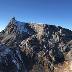
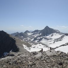
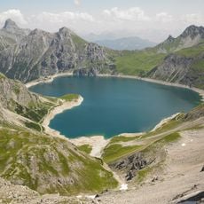
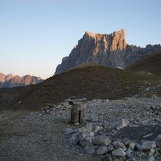
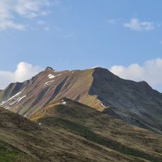
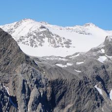
Kirchlispitzen, Mountain summit on the Austria–Switzerland border, Rätikon Alps
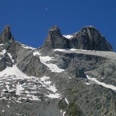
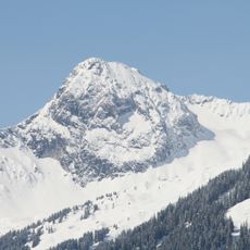
The Kirchlispitzen are seven peaks of the Kirchlispitzengruppe in the Rätikon, forming a west-to-east ridge south of the Verajoch. Their survey points mark the border between Vorarlberg and Graubünden. The highest, the Dritte Kirchlispitze, is given as 2551 m by Austria and 2552 m by Switzerland; the lowest, the Siebte Kirchlispitze, reaches 2350 m.
The first recorded ascent of the Third Kirchlispitze, the highest summit, was made solo by A. Ludwig of the Swiss Alpine Club on 14 August 1891. His route, reached after four attempts in 1890 and 1891 from the Douglasshütte via the Verajöchle, is still the normal route. The southern walls were first climbed only from the 1980s onward.
The name Kirchlispitzen is rendered Chilchlispitz in Swiss usage. The ridge is climbed as a west-to-east traverse between Cavelljoch and the Schweizertor, a route of 6 to 8 hours graded UIAA II to III. Climbers use the Douglasshütte (1973 m) and the Schesaplanahütte (1908 m) as bases.
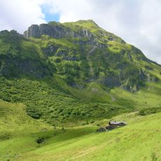
The main trail to the summit starts from Douglasshütte, a mountain refuge that offers lodging and serves as the starting point for the climb. The ascent is steep and demands mountain hiking experience, especially during changeable weather.
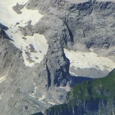
The southern face attracts climbers with multiple routes of varying difficulty, some ranking among the most technically demanding in the Rätikon Alps. Despite closeness to main hiking trails, this side remains less visited by casual hikers.
The community of curious travelers
AroundUs brings together thousands of curated places, local tips, and hidden gems, enriched daily by 93,630 contributors worldwide.