Gaislacher See, Mountain lake at 2704 meters in Sölden, Austria
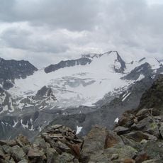
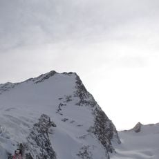
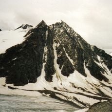
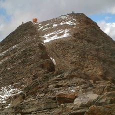
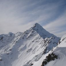
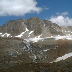
Gaislacher See is a lake in the Austrian state of Tyrol, 400 km west of Vienna, at 2,700 metres above sea level. The highest point nearby is the Gaislachkogel, 3,056 metres high, to the north of the lake. The surrounding terrain consists mainly of grasslands.
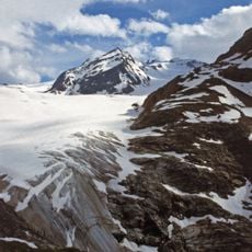
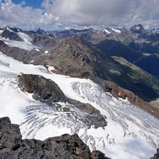
The basin of this lake was carved thousands of years ago by glaciers that gouged and shaped the rock. Glacial movement left this deep hollow, which later filled with meltwater.
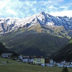
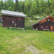
The lake sits in an area where herders have brought livestock to mountain pastures for generations. The landscape still shows traces of this tradition, with meadows and shelters that shape the valley.
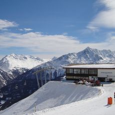
The lake is reached via a marked hiking trail from the middle station of the Gaislachkoglbahn cable car, with a walk lasting several hours. The path crosses rocky and loose ground, so sturdy footwear and fitness are essential.
Gaislacher See lies at 2,700 metres in the Tyrolean part of Austria, about 400 km west of Vienna. The nearest high point is the Gaislachkogel at 3,056 metres to the north; another source gives a 3,206-metre summit 1.2 km to the east. The ground around the lake is mainly grassland, in a thinly populated area of roughly 32 inhabitants per square kilometre.
The community of curious travelers
AroundUs brings together thousands of curated places, local tips, and hidden gems, enriched daily by 93,997 contributors worldwide.