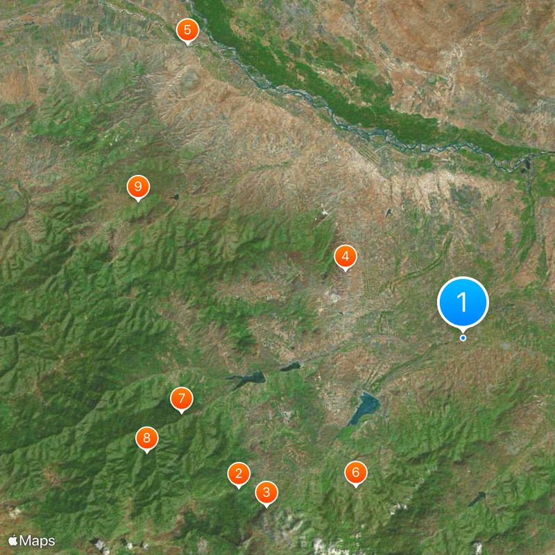
Gazakh District, Administrative district in northwestern Azerbaijan
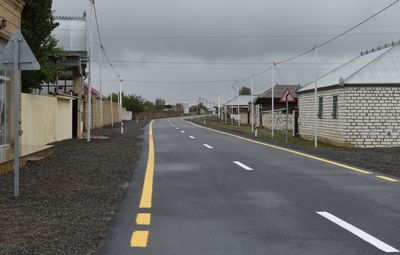
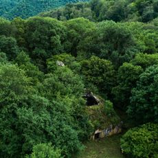
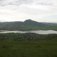
Gazakh District is an administrative area in northwestern Azerbaijan with varied terrain including hills and plains. The landscape features mountains alongside agricultural zones, creating a mixed environment of both natural and cultivated land.
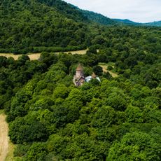
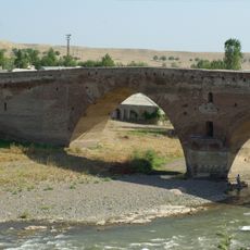
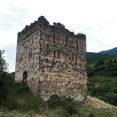
The region was once part of a khanate and passed through the hands of different regional powers over centuries. After the early 1800s, it came under Russian control and remained within that sphere until later political changes.
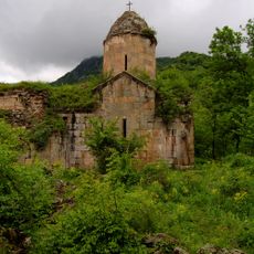
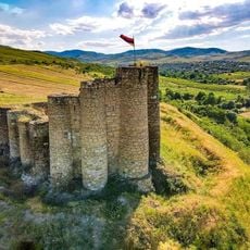
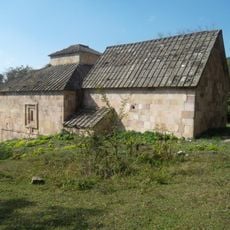
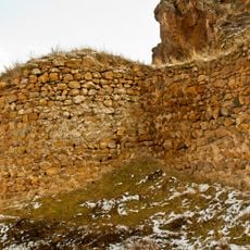
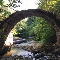
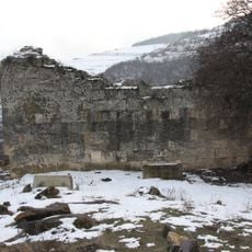
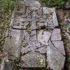
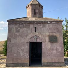
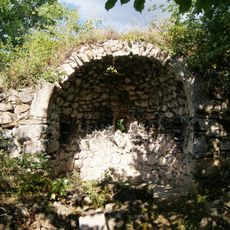
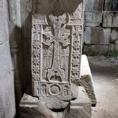
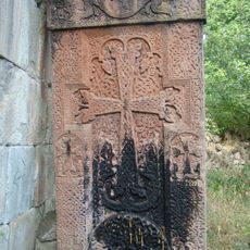
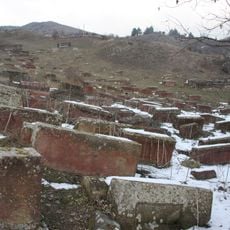
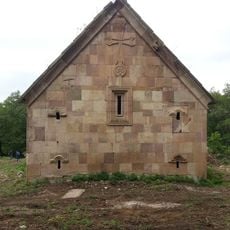
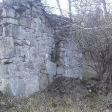
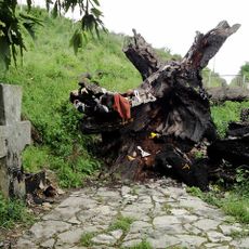
The district houses cultural monuments and archaeological remains that reflect the region's layered past. Walking through villages and across the land, you can see how different peoples have left their mark over time.
The main town of Gazakh serves as a transport hub linking to surrounding regions by rail and road. Plan your visit during mild seasons when roads are passable and the landscape is more enjoyable to explore.
Two isolated villages within the district are completely surrounded by territory of another country, creating an unusual geographical separation. This distinctive situation shapes the character and isolation of these small communities.
The community of curious travelers
AroundUs brings together thousands of curated places, local tips, and hidden gems, enriched daily by 60,000 contributors worldwide.