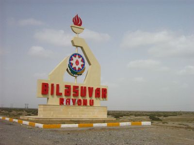
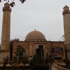
Bilasuvar District, Administrative district in southeastern Azerbaijan
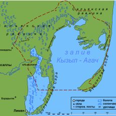
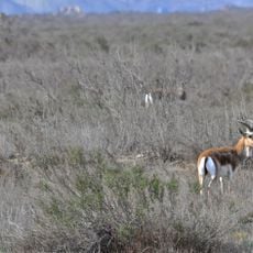
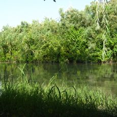
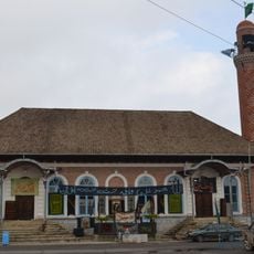
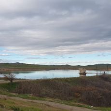
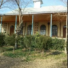
Bilasuvar District is an administrative region in southeastern Azerbaijan situated on the flat Mugan plain with a dry climate and hot summers. The landscape consists mainly of agricultural land dedicated to farming operations and scattered settlements across the terrain.
The district was established in 1930, taking its name from Turkish words meaning lowland and cavalryman, reflecting the region's past as a military settlement area. This naming choice connects to earlier periods when mounted warriors held strategic importance in the region.
Agriculture shapes daily life here, with cotton fields and livestock farming defining the rhythm of communities throughout the district. Local traditions remain closely tied to these land-based activities that have sustained families for generations.
The district is primarily an agricultural zone, so visitors should expect rural terrain and extensive farmland throughout the area. Travel is easiest during spring and fall when temperatures are more moderate than in the hot summer months.
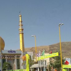
The district contains one of four border crossings between Azerbaijan and Iran, making it a key junction for international trade and movement of goods. This location gives the rural area unexpected importance as a gateway for commerce between nations.
The community of curious travelers
AroundUs brings together thousands of curated places, local tips, and hidden gems, enriched daily by 60,000 contributors worldwide.