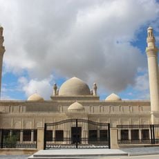
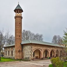
Ismayilli District, Administrative district in northern Azerbaijan.
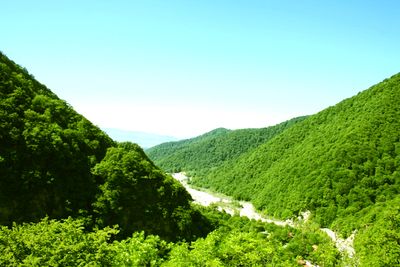
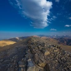
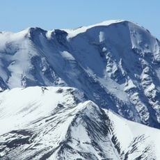
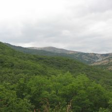
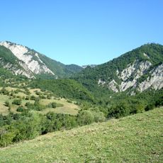
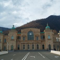
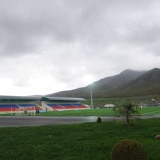
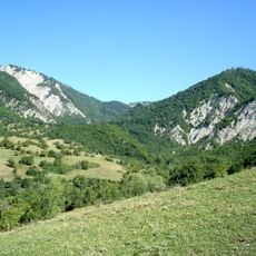
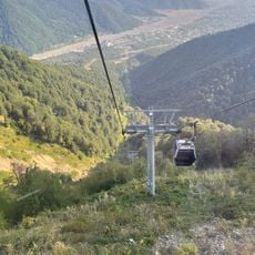
Ismayilli District is an administrative region in northern Azerbaijan that extends across mountainous terrain with elevations ranging between 200 and 3,600 meters. The landscape shifts between flatter valleys and steeper mountain chains, with the district capital serving as a connection point for the surrounding area.
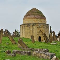
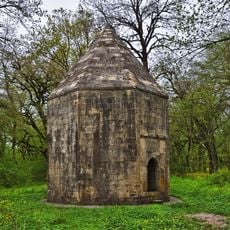
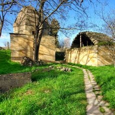
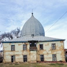
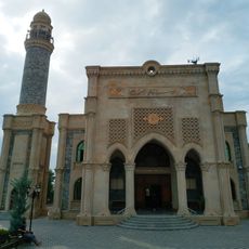
The territory was part of the ancient Caucasian Albanian state before later falling under various powers. The district as it exists today was established as a separate administrative unit in 1931 and subsequently became part of the Soviet system.
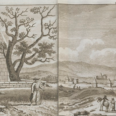
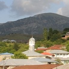
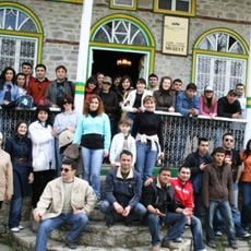
The region is home to more than 100 villages where residents maintain strong community ties and pass down traditional crafts and skills. You can observe how rural life here depends on methods and practices that have been part of daily life for generations.
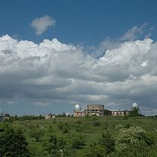
The capital sits at a mid-range elevation and connects to other locations through a road network that makes traveling through the region easier. Visitors should know that the hilly terrain means travel times can be longer and conditions vary depending on the season.
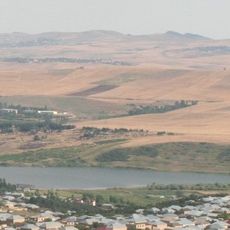
Some villages in the region still practice traditional farming and herding methods that have changed little over time. This way of working allows them to produce goods that are known and valued across the wider area.
The community of curious travelers
AroundUs brings together thousands of curated places, local tips, and hidden gems, enriched daily by 60,000 contributors worldwide.