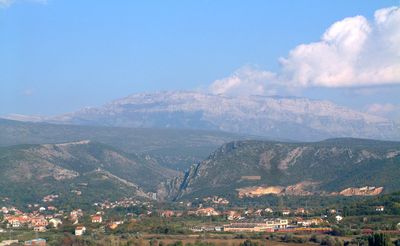
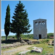
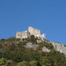
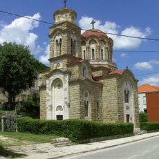
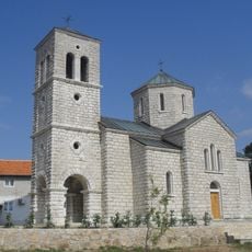
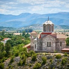
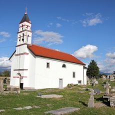
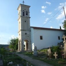
Dinara, Mountain range between Knin and Livno, Croatia and Bosnia
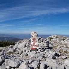
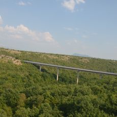
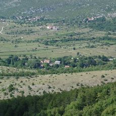
Dinara is a mountain range that stretches roughly 100 kilometers between Croatia and Bosnia, shaped by limestone cliffs, open meadows, and karst formations. The highest point rises to around 1900 meters and offers expansive views across both countries.
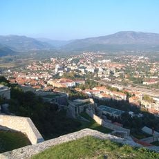
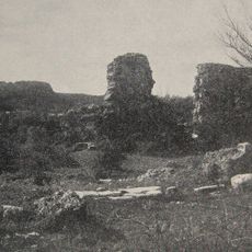
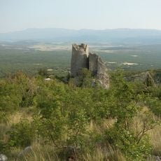
The ancient Greeks called this mountain range Adrion Oros, using it for centuries as a natural boundary between the coastal regions and the interior lands. This border role shaped the history of the area through many periods.
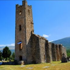
The name Troglav, the highest point, comes from an old Slavic three-headed deity, linking the mountain to regional beliefs and stories. Local guides often point out how this naming reflects the spiritual importance this place held for people living nearby.
Reaching this ridge takes careful planning since weather conditions shift dramatically across seasons. Summer brings intense heat while winter can bring heavy snow, both affecting how and when you can visit.
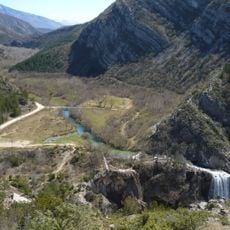
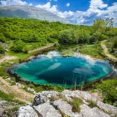
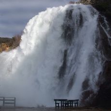
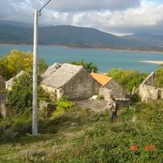
Beneath the limestone surface, karst springs emerge where major rivers like the Krka and Cetina begin their journey. These hidden water networks reveal how central this range is to providing water for the surrounding lands.
The community of curious travelers
AroundUs brings together thousands of curated places, local tips, and hidden gems, enriched daily by 60,000 contributors worldwide.