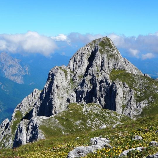
Maglić, Mountain summit in Foča, Bosnia and Herzegovina
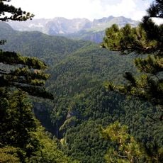
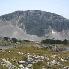
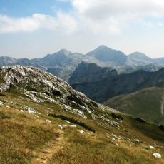
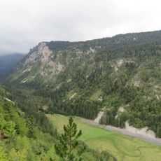
Maglić is a limestone mountain rising to 2,386 meters (7,829 ft) on the Bosnia and Herzegovina-Montenegro border. The summit marks the highest point in Bosnia and Herzegovina and sits within Sutjeska National Park, accessible through marked hiking trails.
Maglić lies on the border of Bosnia and Herzegovina and Montenegro, at the meeting point of the regions of Bosnia, Herzegovina and Old Herzegovina. Its two summits are the Veliki Maglić (2,386 m) in Bosnia and Herzegovina and the Crnogorski Maglić (2,388 m) in Montenegro. Since 1962 the massif has formed part of Sutjeska National Park, the first national park established in Bosnia and Herzegovina, drained by the Sutjeska through the Tjentište valley.
The name Maglić comes from the word for fog, magla, which often covers the massif. The two summits are distinguished as Veliki Maglić in Bosnia and Herzegovina and Crnogorski Maglić in Montenegro. The mountain lies at the meeting point of three historical regions: Bosnia, Herzegovina and Old Herzegovina. The Trnovačko Lake below the peaks is fed by the Maglić, Volujak and Bioč ranges.
Most ascents begin from Prijevor mountain hut and take six to eight hours along marked trails in the national park. Starting early and bringing water and weather-appropriate gear is advisable, as mountain conditions can change rapidly.
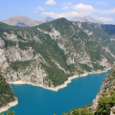
The massif has two summits: Crnogorski Maglić in Montenegro reaches 2,388 m, two metres higher than Veliki Maglić in Bosnia and Herzegovina at 2,386 m. The Montenegrin side also holds Trnovačko Lake, a glacier lake at 1,517 m, 700 m long and 400 m wide, fed by the Maglić, Volujak and Bioč ranges.
The community of curious travelers
AroundUs brings together thousands of curated places, local tips, and hidden gems, enriched daily by 94,126 contributors worldwide.