Pale Municipality

Log in to your account

AroundUs is a community-driven map of interesting places, built by curious explorers like you. It grows with every review, story, and photo you share.
Connect to save your favorite spots, contribute locations, and create personalized routes.
By continuing, you accept our Terms and Conditions and our Privacy Policy
Add to collection
Map
Suggest a change
Share

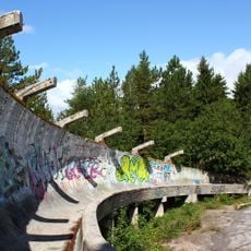
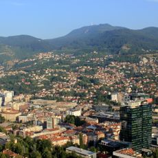
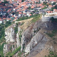
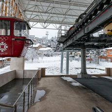
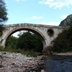
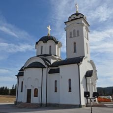
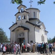
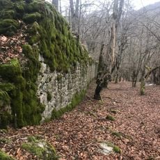
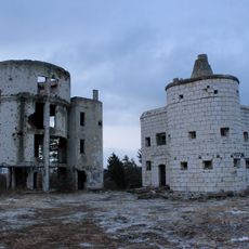
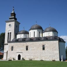
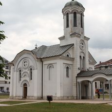
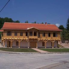
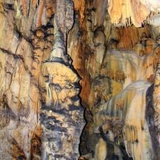
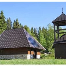
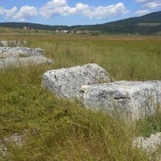
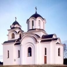
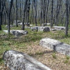
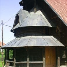
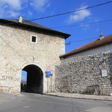
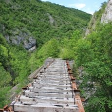
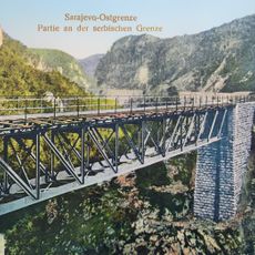
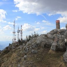
Pale Municipality, municipality of Bosnia and Herzegovina

Location: 
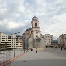
City of Istočno Sarajevo

GPS coordinates: 43.82317,18.65309

Latest update: March 6, 2025 01:18

Around this place
Show the full map
Sarajevo Olympic Bobsleigh and Luge Track
Bosnia and Herzegovina

Sarajevo Olympic Bobsleigh and Luge Track

17 km
Trebević
Bosnia and Herzegovina

Trebević

15.4 km
Bijela Tabija
Bosnia and Herzegovina

Bijela Tabija

17.2 km
Trebevićka žičara
Bosnia and Herzegovina

Trebevićka žičara

17.1 km
Goat's Bridge
Bosnia and Herzegovina

Goat's Bridge

16.1 km
Sokolica Monastery
Bosnia and Herzegovina

Sokolica Monastery

9.9 km
Ozerkovići Monastery
Bosnia and Herzegovina

Ozerkovići Monastery

13.4 km
Orlovača cave
Bosnia and Herzegovina

Orlovača cave

8.7 km
Ambassadors' Alley
Bosnia and Herzegovina

Ambassadors' Alley

17.4 km
Pavlovac Fortress
Bosnia and Herzegovina

Pavlovac Fortress

12.8 km
Observatory Bistrik kula
Bosnia and Herzegovina

Observatory Bistrik kula

17.4 km
Elijah the Prophet church
Bosnia and Herzegovina

Elijah the Prophet church

17.2 km
Serbian Orthodox Cathedral in Pale
Bosnia and Herzegovina

Serbian Orthodox Cathedral in Pale

6.5 km
Church of the Dormition in Pale
Bosnia and Herzegovina

Church of the Dormition in Pale

6.8 km
Cekovic's house
Bosnia and Herzegovina

Cekovic's house

6.8 km
Banja Stijena cave
Bosnia and Herzegovina

Banja Stijena cave

19.6 km
Црква Светог пророка Илије на Лукама
Serbia

Црква Светог пророка Илије на Лукама

13.3 km
Luburić field necropolis
Bosnia and Herzegovina

Luburić field necropolis

21.1 km
Црква Светог Пантелејмона на Вучијој Луци
Serbia

Црква Светог Пантелејмона на Вучијој Луци

15 km
Borak necropolis
Bosnia and Herzegovina

Borak necropolis

18.6 km
Église Saint-Joseph de Pale
Bosnia and Herzegovina

Église Saint-Joseph de Pale

6.8 km
Višegradska kapija
Bosnia and Herzegovina

Višegradska kapija

17.2 km
Dariva
Bosnia and Herzegovina

Dariva

16.9 km
Porčina džamija
Bosnia and Herzegovina

Porčina džamija

17.5 km
Trebević summit
Bosnia and Herzegovina

Trebević summit

15.5 km
Bistrica viaduct
Bosnia and Herzegovina

Bistrica viaduct

10.3 km
Dobrik viaduct
Bosnia and Herzegovina

Dobrik viaduct

11.8 km
Trebević (bukid)
Bosnia and Herzegovina

Trebević (bukid)

15.5 km
Show the full map

Reviews

Visited this place? Tap the stars to rate it and share your experience / photos with the community! Try now! You can cancel it anytime.

« Pale Municipality - municipality of Bosnia and Herzegovina » is provided by Around Us (aroundus.com). Images and texts are derived from Wikimedia project under a Creative Commons license. You are allowed to copy, distribute, and modify copies of this page, under the conditions set by the license, as long as this note is clearly visible.

Discover hidden gems everywhere you go!

From secret cafés to breathtaking viewpoints, skip the crowded tourist spots and find places that match your style. Our app makes it easy with voice search, smart filtering, route optimization, and insider tips from travelers worldwide. Download now for the complete mobile experience.

Around Us App Screenshot

A unique approach to discovering new places

Le Figaro

All the places worth exploring

France Info

A tailor-made excursion in just a few clicks

20 Minutes