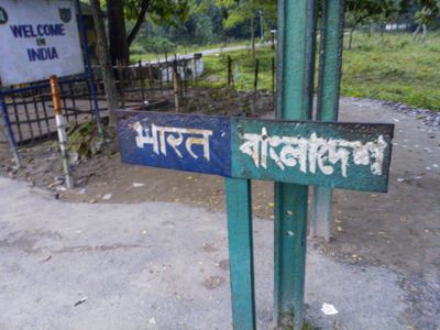
Bangladesh–India border, International border between Bangladesh and India, South Asia
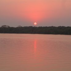
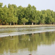
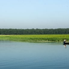
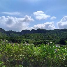
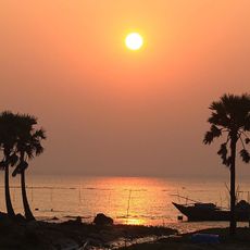
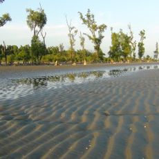
The Bangladesh–India border runs 4096 kilometers (2545 miles) through flatlands, river deltas and forested hills in South Asia. It links six divisions in Bangladesh with five Indian states such as West Bengal, Assam and Meghalaya.
This boundary appeared in 1947 during the Partition of British India, when Sir Cyril Radcliffe drew separation lines between the newly independent nations. Before 2015, many enclaves lay scattered along the line and were dissolved through a bilateral land exchange agreement.
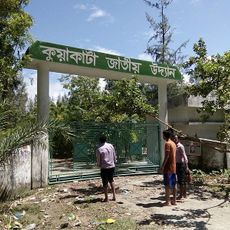
Weekly border markets called haats operate along designated sections, enabling local communities from both nations to trade goods and maintain connections.
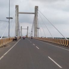
Several integrated checkpoints handle customs and immigration formalities between major cities such as Kolkata and Dhaka. Travelers should carry valid visas and documents for both countries, since controls at different points can be thorough.
Along specific sections, weekly border markets called haats open where residents from both countries trade goods and maintain personal ties. These markets existed before independence and now serve as places of social exchange between communities that used to be more closely connected.
The community of curious travelers
AroundUs brings together thousands of curated places, local tips, and hidden gems, enriched daily by 60,000 contributors worldwide.