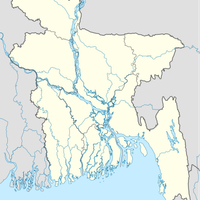
Kishoreganj District, Administrative district in Dhaka Division, Bangladesh
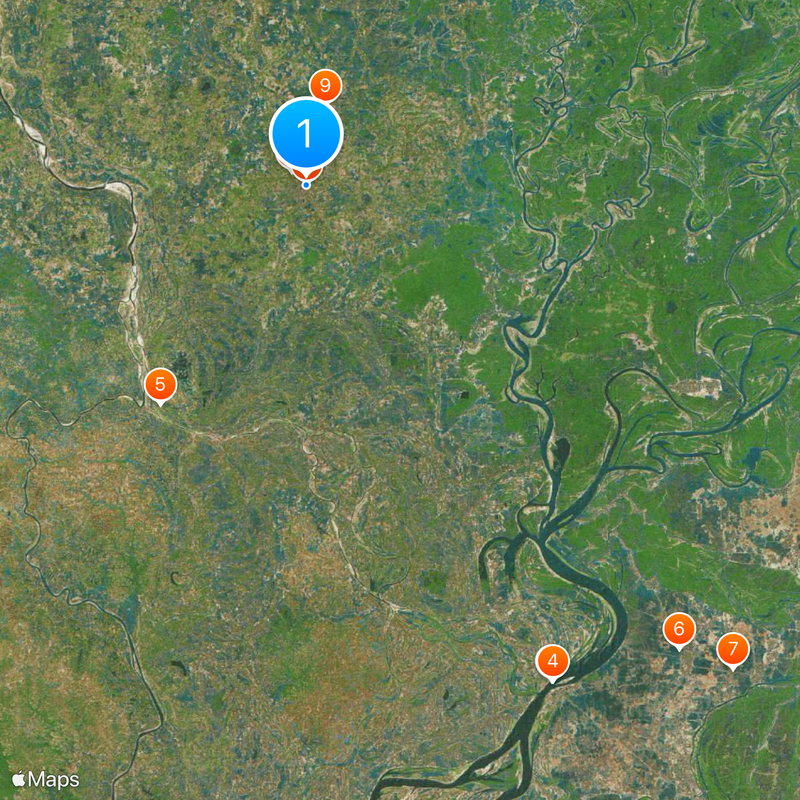
Kishoreganj is an administrative district in central Bangladesh covering approximately 2731 square kilometers and bordered by six neighboring districts. The region is crossed by two major rivers and contains four municipalities along with numerous villages and administrative subdivisions.
The area was established as an administrative subdivision in 1860 and gained independent district status in 1984 after separating from Mymensingh. This division marked a key step in reorganizing the region's administrative boundaries.
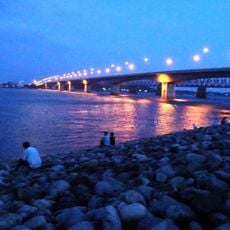
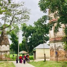
People here gather for religious and community festivals like Kurikhai Mela, which bring villages together throughout the year. These events shape daily rhythms and show how traditional practices remain central to local life.
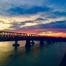
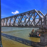
The district is well-connected through road networks and river routes, offering multiple entry points for visitors. The best time to explore is outside the monsoon season when roads and waterways are more accessible.
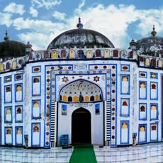
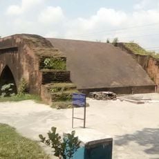
Archaeological findings in Egarosindur village show evidence of trade connections dating back about 2500 years. These discoveries reveal that the region has been a crossroads for long-distance exchange throughout history.
Location: Dhaka Division
Capital city: Kishoreganj
Elevation above the sea: 11 m
Shares border with: Mymensingh District, Netrokona District, Sunamganj District, Habiganj District, Brahmanbaria District, Narsingdi District, Gazipur District
Website: http://kishoreganj.gov.bd
GPS coordinates: 24.43333,90.78333
Latest update: December 17, 2025 10:01
Pagla mosque
1.7 km
Anderson Bridge
48.3 km
Syed Nazrul Islam Bridge
48.3 kmEgarasindhur Fort
22.9 km
Arifil Mosque
52 km
Bariura Old Bridge
56.3 km
Shohidi Masjid
175 m
Temple of Chandrabati
7.2 kmQutub Mosque
37.4 kmশাহ মোহাম্মদ মসজিদ
15.1 kmShaheb Bari Jami Mosque
4.5 km
Shaheed Ivy Rahman Poura Stadium
45.3 km
Arifail Shrine
52.1 kmBelabo Bazar Mosque
37.1 kmApscl Park
49.5 kmDharanti
49.5 kmMeghna River Bank মেঘনা নদীর পাড়
48 kmUpazila Hall Room
13.3 kmশিল্পকলা একাডেমী
623 mWork of art
41.6 kmScenic viewpoint
41.5 kmRawnat,Kapasia
46 kmMaruntak
42 kmScenic viewpoint
41.9 kmHatirpool
56.3 kmCollege Shahid Min ar
13.4 kmস্মৃতি সৌধ
49.6 kmশহীদ মিনার
49.5 kmVisited this place? Tap the stars to rate it and share your experience / photos with the community! Try now! You can cancel it anytime.
Discover hidden gems everywhere you go!
From secret cafés to breathtaking viewpoints, skip the crowded tourist spots and find places that match your style. Our app makes it easy with voice search, smart filtering, route optimization, and insider tips from travelers worldwide. Download now for the complete mobile experience.
A unique approach to discovering new places❞
— Le Figaro
All the places worth exploring❞
— France Info
A tailor-made excursion in just a few clicks❞
— 20 Minutes