
Mohadevpur Upazila, sub-district in Bangladesh
Location: Naogaon District
Inception: 1898
Capital city: Mohadevpur
Elevation above the sea: 19 m
Website: http://mohadevpur.naogaon.gov.bd
Website: http://mohadevpur.naogaon.gov.bd
GPS coordinates: 24.91830,88.74830
Latest update: March 20, 2025 13:26
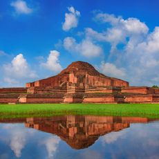
Somapura Mahavihara
26.3 km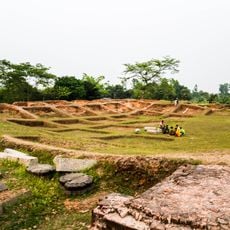
Jagaddala Mahavihara
30.2 km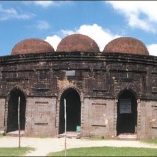
Kusumba Mosque
19.5 km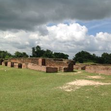
Bangarh
59.3 km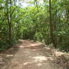
Altadighi National Park
32.1 km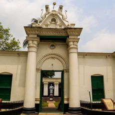
পতিসর রবীন্দ্র কাছারি বাড়ি ও তৎসংলগ্ন কীর্তিসমূহ
48.1 km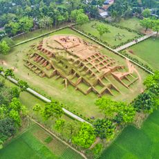
Gokul Medh
59.4 km
Dibar Dighi
26.1 km
Palace of Parshuram
59.2 km
Jagjivanpur
40.1 km
Vasu Vihara
55.9 km
Halud Vihara
22.6 km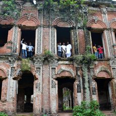
Dhubal Hati Palace
20 km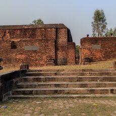
Dargah of Shah Ata
58 km
Bhimer Panti
28 km
Naoda Buruz
42.8 km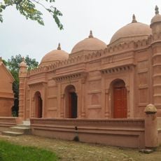
Kismat Maria Mosque
52.7 km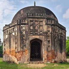
Rohanpur Octagonal Tomb
43 km
Agrapuri Vihar
29.3 km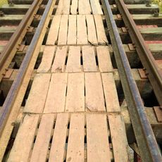
Rohanpur Railway Bridge
44.7 km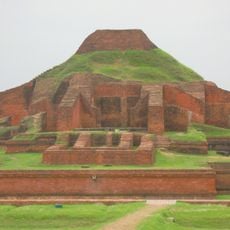
Somapura Mahavihara
27 km
Mandirbasini temple
46.1 km
Biswanathpur Shiva Temple
53.7 km
Poragachhi temple
48.4 km
Bhaior Mata temple
45.9 km
Thakurdalan of Zamindar house of Bandopadhyay family
51.3 km
Kardaha Shiva temple
49.6 km
Singhabahini temple
45.3 kmReviews
Visited this place? Tap the stars to rate it and share your experience / photos with the community! Try now! You can cancel it anytime.
Discover hidden gems everywhere you go!
From secret cafés to breathtaking viewpoints, skip the crowded tourist spots and find places that match your style. Our app makes it easy with voice search, smart filtering, route optimization, and insider tips from travelers worldwide. Download now for the complete mobile experience.

A unique approach to discovering new places❞
— Le Figaro
All the places worth exploring❞
— France Info
A tailor-made excursion in just a few clicks❞
— 20 Minutes