Enable Location

We need your location to show you interesting places around you

Discover nearby places

Find interesting locations and hidden gems around you

Precise directions

Get accurate directions and distances to places

Your location is never shared with other users. It's only used when you tap the location button.

Nijhum Dwip

Log in to your account

Start exploring — it's free

Trusted by 64,612 travelers worldwide

Continue with Google
Continue with Apple
or

We will send you a code to connect

By continuing, you accept our Terms and Conditions and our Privacy Policy

Check your inbox

We've sent a pincode in your inbox. Please enter the code below.

Nijhum Dwip
Discussion Reviews 1 Photos 1 Collections
14.4k Popularity

Nijhum Dwip, Island and National Park in Noakhali District, Bangladesh

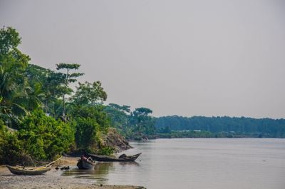
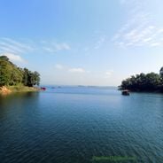
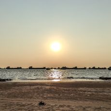
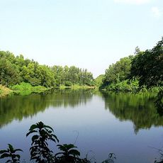
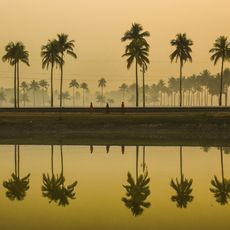
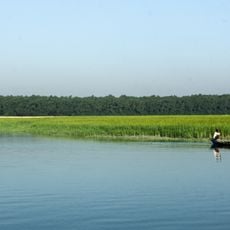
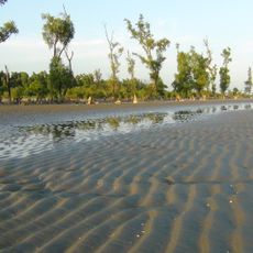
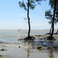
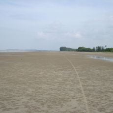
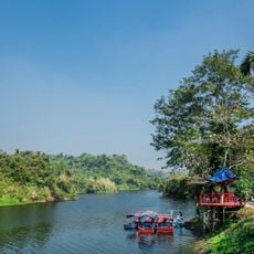
Nijhum Dwip is an island cluster in the Bay of Bengal with expanses of land and water that form a national park. The area contains mangrove forests, open spaces, and several village settlements with market areas.

The islands formed in the mid-20th century from sediment deposits in the river delta and were initially named differently by local fishers. Over time, more people settled and built a permanent community.

The inhabitants work mainly as fishers and farmers, shaping daily life through their hands-on activities across the island. Their way of living is closely tied to the tides and changing seasons.

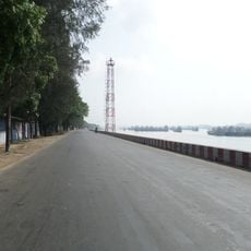
Boats from the mainland are the main way to reach the islands, taking several hours depending on the season. Staying overnight requires planning ahead, as accommodations are basic and limited in number.

The area is home to a large deer population that roams freely through the mangrove forests, especially visible at sunrise. It also serves as a crucial stopover for migratory birds traveling from colder regions during winter months.

The community of curious travelers

AroundUs brings together thousands of curated places, local tips, and hidden gems, enriched daily by 60,000 contributors worldwide.

Start exploring
Part of
Chattogram Division
GPS coordinates
22.06356,91.01075
Latest update
December 6, 2025 16:02
Bangladesh: The guide to the best photo spots, among light, colors, and scenes of life

The country combines the legacy of different civilizations in its mosques and palaces with landscapes of marshy forests, tea plantations, and wild coasts.

Reviews
Share your experience

No review yet

Discussions
Start a discussion...

No discussion yet

« Nijhum Dwip - Island and National Park in Noakhali District, Bangladesh » is provided by Around Us (aroundus.com). Images and texts are derived from Wikimedia project under a Creative Commons license. You are allowed to copy, distribute, and modify copies of this page, under the conditions set by the license, as long as this note is clearly visible.

Discover hidden gems everywhere you go!

From secret cafés to breathtaking viewpoints, skip the crowded tourist spots and find places that match your style. Our app makes it easy with voice search, smart filtering, route optimization, and insider tips from travelers worldwide. Download now for the complete mobile experience.

Around Us App Screenshot

A unique approach to discovering new places

Le Figaro

All the places worth exploring

France Info

A tailor-made excursion in just a few clicks

20 Minutes

Around Us
Travel Guide & Maps
Download

Send to your phone

QR Code
1

Open the camera app on your mobile.

2

Point at the QR code with your camera. A notification will appear.

3

Tap the notification to open the link.