
Mongla Upazila, upazila in Khulna Division, Bangladesh
Location: Bagerhat District
Elevation above the sea: 4 m
Website: http://mongla.bagerhat.gov.bd
Website: http://mongla.bagerhat.gov.bd
GPS coordinates: 22.48330,89.60830
Latest update: March 23, 2025 18:59
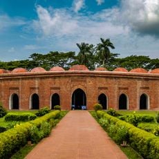
Sixty Dome Mosque
25.3 km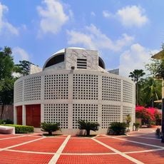
Mausoleum of Sheikh Mujibur Rahman
55.5 km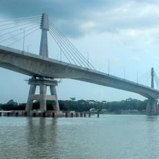
Payra Bridge
75.1 km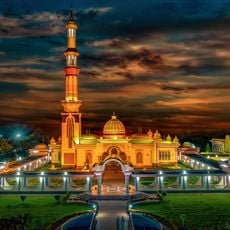
Baitul Aman Mosque
72.9 km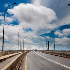
Khan Jahan Ali Bridge
32.9 km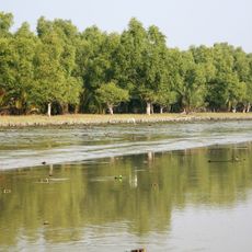
Sundarbans South Wildlife Sanctuary
77.7 km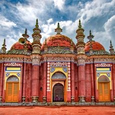
Karapur Miah Bari Mosque
74.9 km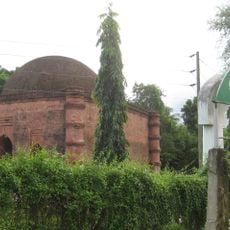
Singar Mosque
25.2 km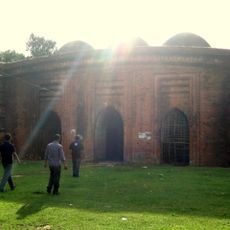
Nine Dome Mosque
24.7 km
Barguna Polytechnic Institute
61.7 km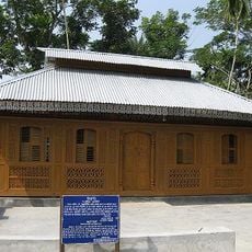
Momin Mosque
36.2 km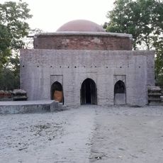
Majidbaria Shahi Mosque
63.5 km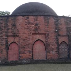
Bibi Chini Mosque
60.3 km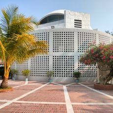
Bangabandhu Sheikh Mujibur Rahman Museum
55.6 km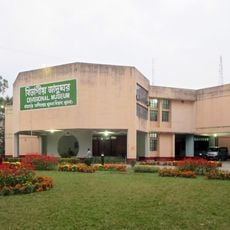
Khulna Divisional Museum
38.1 km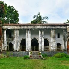
House of Sir Prafulla Chandra Roy
38.9 km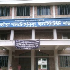
Satkhira Polytechnic Institute
64 km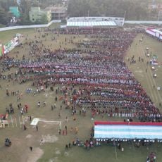
Bagerhat Stadium
27.1 km
Bihanga Island
59.8 km
Satkhira Stadium
60.9 km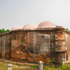
Mosjidkur Mosque
33.2 km
Dhangmari Wildlife Sanctuary
9.1 km
Chadpai Wildlife Sanctuary
12.3 km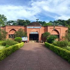
Bagerhat Museum
25.3 km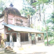
Galua Paka Mosque
52 km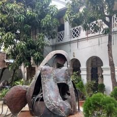
1971 : Genocide-Torture Archive and Museum
38 km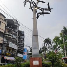
Bijoy Bihongo Sculpture
80.2 km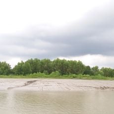
Sundarbans Reserved Forest
51 kmReviews
Visited this place? Tap the stars to rate it and share your experience / photos with the community! Try now! You can cancel it anytime.
Discover hidden gems everywhere you go!
From secret cafés to breathtaking viewpoints, skip the crowded tourist spots and find places that match your style. Our app makes it easy with voice search, smart filtering, route optimization, and insider tips from travelers worldwide. Download now for the complete mobile experience.

A unique approach to discovering new places❞
— Le Figaro
All the places worth exploring❞
— France Info
A tailor-made excursion in just a few clicks❞
— 20 Minutes