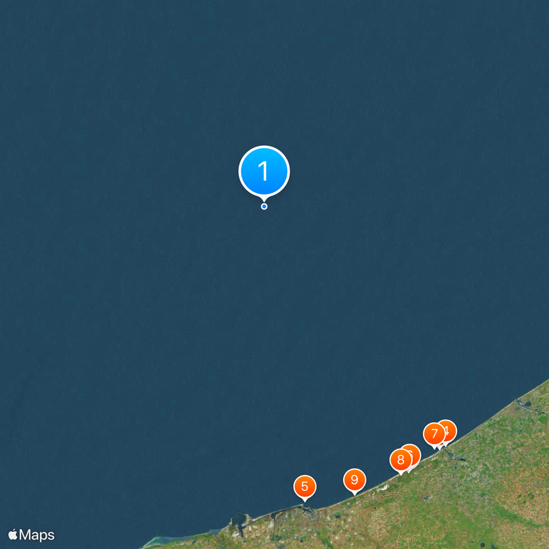
Belgium–France border, International land boundary between Belgium and France
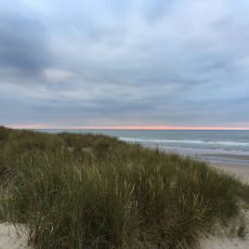
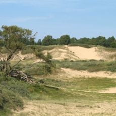
The Belgium-France border is an international land boundary stretching roughly 620 kilometers from the North Sea in the north. It runs southward through varied terrain and concludes at a three-country junction with Luxembourg.
The current boundary was established by the Treaty of Kortrijk in 1820 following the dissolution of the United Kingdom of the Netherlands. This agreement separated what became Belgium from France, with the line remaining largely unchanged ever since.
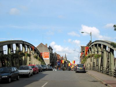
The border connects two distinct cultural areas where people share work and family ties across the line. In towns near the frontier, many residents speak both languages and feel connected to both nations.
Since 1995, travelers can move freely between Belgium and France as both nations joined the Schengen Area and removed border checkpoints. Boundary crossings remain identifiable on maps and signage, making it easy to locate where the two countries meet.
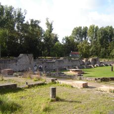
In 2021, a Belgian farmer accidentally shifted a historic border stone over two meters into French territory while clearing his land. This unintended boundary shift was discovered and corrected, as such markers are protected by international law.
The community of curious travelers
AroundUs brings together thousands of curated places, local tips, and hidden gems, enriched daily by 60,000 contributors worldwide.