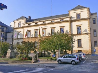
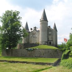
Luxembourg, Administrative province in southern Wallonia, Belgium
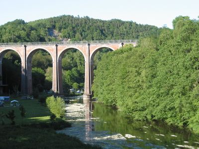
This province lies in the southern part of Wallonia and spreads over woodlands, plateaus and valleys. It covers more than four thousand square kilometers and ranks as the largest provincial territory in the country.
The territory was formed in 1839 as a Belgian province after the partition of the former Grand Duchy during Belgian independence. The border split the western parts from the remaining territory to the east.
The area around Arlon is known as Arelerland and keeps its special linguistic character alive in daily life. Locals switch between Luxembourgish and French in their conversations, while Walloon also appears in everyday exchanges.
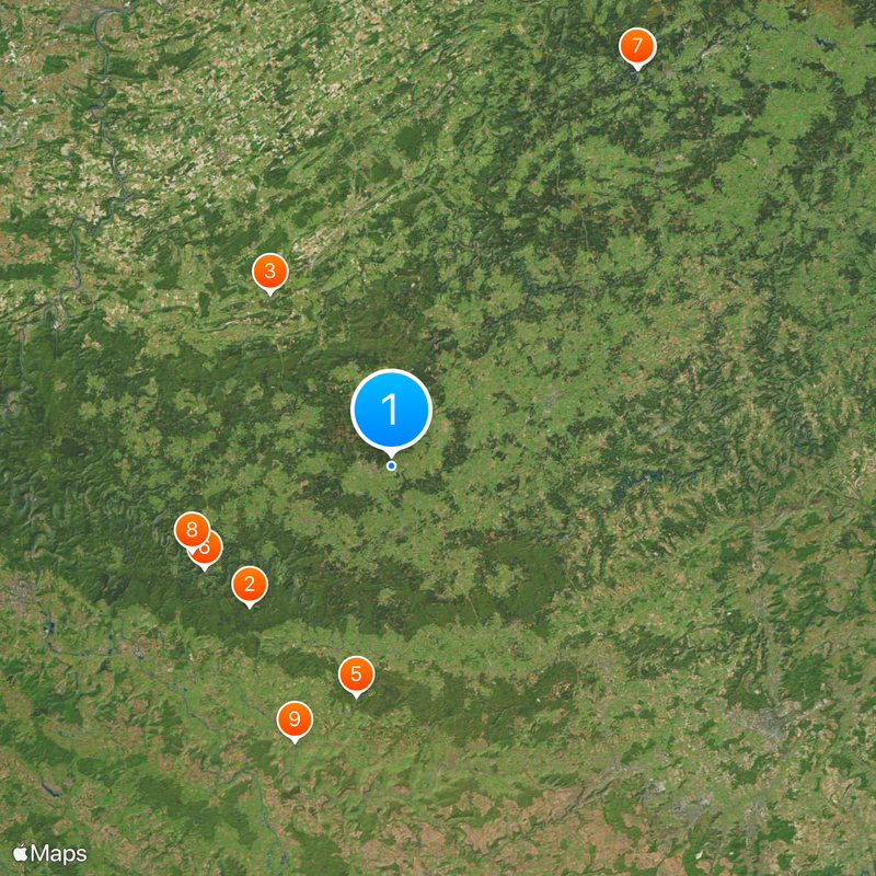
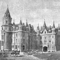
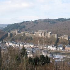
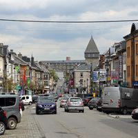
The provincial territory divides into five administrative districts centered around larger towns. Main roads connect these towns and serve as starting points for trips into the forested surroundings.
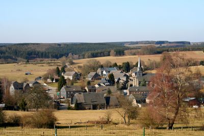
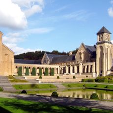
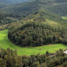
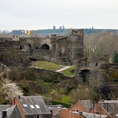
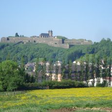
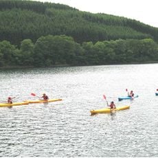
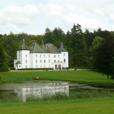
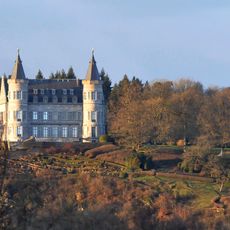
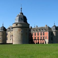
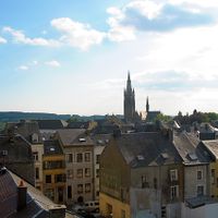
The Ardennes cover roughly four fifths of the provincial area and create a forested environment with very few inhabitants per square kilometer. This low settlement has preserved natural areas where hikers and cyclists often go for hours without seeing larger towns.
Location: Wallonia
Inception: 1839
Capital city: Arlon
Elevation above the sea: 488 m
Operator: Province de Luxembourg
Shares border with: Province of Namur, Province of Liege, Luxembourg, Meurthe-et-Moselle, Meuse, Ardennes, Lorraine, Grand Est
Email: info@province.luxembourg.be
Website: https://province.luxembourg.be
GPS coordinates: 49.91667,5.41667
Latest update: December 5, 2025 16:31
Chateau des Amerois
26.7 km
Caves of Han-sur-Lesse
28.3 km
Waterfalls of Coo
62.4 km
Orval Abbey
31.2 km
Bouillon Castle
28.7 km
Plopsa Coo
62.4 km
Tombeau du Géant
29.2 km
Ouvrage La Ferté
39.1 km
Basilique Notre-Dame d'Avioth
39 km
Domain of the caves of Han
28.4 km
Bastogne War Museum
25.4 km
Castle of La Roche-en-Ardenne
31.7 km
Battle of the Bulge Monument
25.3 km
Clervaux Castle
46.5 km
Rochefort Abbey
32.3 km
Castle of Vêves
45.9 km
Chevetogne Abbey
39.2 km
Citadelle de Montmédy
44.8 km
Euro Space Center
17.4 km
Upper Sûre Lake
32.3 km
Château de Losange
22.1 km
Dolmen of Wéris
47 km
Maison de la dernière cartouche
41.1 km
Stavelot Abbey
64.6 km
Caves of Hotton
38.2 km
Royal Castle of Ciergnon
35.5 km
Château d'Olly
36.9 km
Megaliths of Wéris
47.6 kmVisited this place? Tap the stars to rate it and share your experience / photos with the community! Try now! You can cancel it anytime.
Discover hidden gems everywhere you go!
From secret cafés to breathtaking viewpoints, skip the crowded tourist spots and find places that match your style. Our app makes it easy with voice search, smart filtering, route optimization, and insider tips from travelers worldwide. Download now for the complete mobile experience.
A unique approach to discovering new places❞
— Le Figaro
All the places worth exploring❞
— France Info
A tailor-made excursion in just a few clicks❞
— 20 Minutes