Champagne-Ardenne

Log in to your account

AroundUs is a community-driven map of interesting places, built by curious explorers like you. It grows with every review, story, and photo you share.
Connect to save your favorite spots, contribute locations, and create personalized routes.
Continue with Google
Continue with Apple
Continue with X
Continue with Facebook
Continue with email
By continuing, you accept our Terms and Conditions and our Privacy Policy
Create an account

Champagne-Ardenne

Add to collection
Map
Suggest a change
Share

Champagne-Ardenne, Historical region in northeastern France

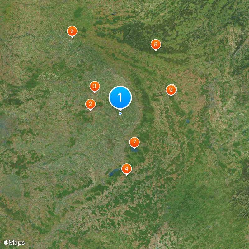
Champagne-Ardenne was an independent region in northeastern France until the end of 2015, encompassing four departments: Ardennes, Marne, Aube, and Haute-Marne. Since then the area has been part of the larger Grand Est region, though the name remains in use as a historical reference.

The two areas were merged into a single administrative unit in 1956, when France reorganized its regions. The region existed until a new reform in 2016, when it was absorbed into the newly created Grand Est region.

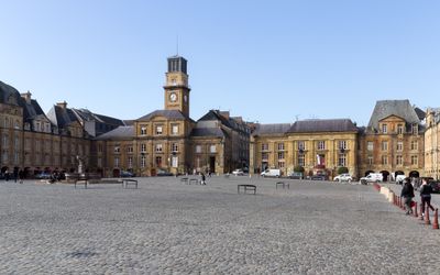
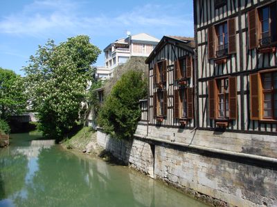
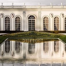
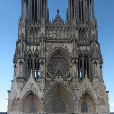
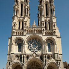
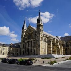
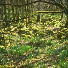
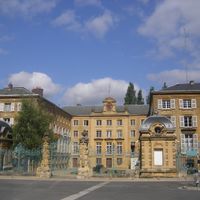
The region's name combines two areas that once stood apart: Champagne to the south and Ardennes to the north, where different traditions still coexist today. Many villages between Reims and Troyes sit amid vineyards, while in the Ardennes area forests and riverbanks shape how people live.

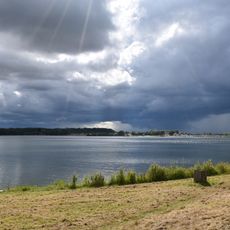
The area stretches from the borders with Belgium and Luxembourg in the north to the vineyards around Troyes in the south, so traveling often takes you through several different landscapes. Much of it is relatively flat, while the Ardennes in the north become hillier and offer forest trails for walking.

The chalky soils in the southern part sometimes turn the ground almost white, which is why the word Champagne itself comes from the Latin for open field. Some villages here have churches with roofs made from colored tiles arranged in geometric patterns that can be seen from a distance.

Location: France

Location: Metropolitan France

Inception: June 4, 1960

Capital city: Châlons-en-Champagne

Shares border with: Burgundy, Île-de-France, Picardy, Lorraine, Franche-Comté, Wallonia

Address: Champagne-Ardenne, France

Website: http://cr-champagne-ardenne.fr

GPS coordinates: 49.00000,4.50000

Latest update: December 13, 2025 15:30

Photos
Reviews

Visited this place? Tap the stars to rate it and share your experience / photos with the community! Try now! You can cancel it anytime.

« Champagne-Ardenne - Historical region in northeastern France » is provided by Around Us (aroundus.com). Images and texts are derived from Wikimedia project under a Creative Commons license. You are allowed to copy, distribute, and modify copies of this page, under the conditions set by the license, as long as this note is clearly visible.

Discover hidden gems everywhere you go!

From secret cafés to breathtaking viewpoints, skip the crowded tourist spots and find places that match your style. Our app makes it easy with voice search, smart filtering, route optimization, and insider tips from travelers worldwide. Download now for the complete mobile experience.

Around Us App Screenshot

A unique approach to discovering new places

Le Figaro

All the places worth exploring

France Info

A tailor-made excursion in just a few clicks

20 Minutes