Ardennes, Department in Grand Est, France
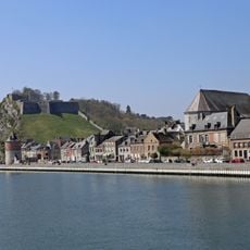
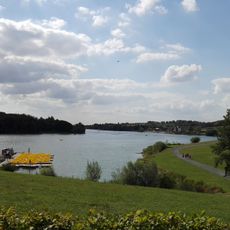
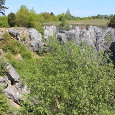
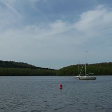
This administrative division lies in northeastern France, part of the Grand Est region, with wide forests and deep river valleys. The Meuse crosses the territory from south to north, forming one of the defining axes of this wooded landscape.
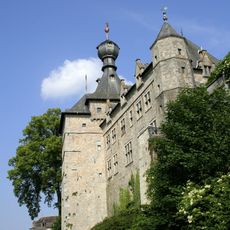
The territory was created during the early years of the French Revolution from parts of former provinces and received its present form. The border location meant that several wars crossed the territory and strongly influenced its built environment and social development.
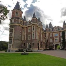
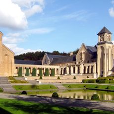
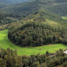
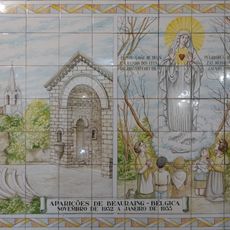
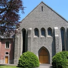
The name comes from the forest range that extends into Belgium and Luxembourg, shaping the landscape. Visitors today encounter smaller towns with slate roofs and stone houses, where craft traditions such as metalworking partly continue and make the rural way of life visible.
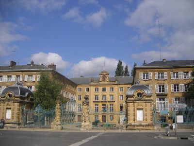
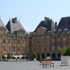
Charleville-Mézières serves as the administrative center and main hub for travelers exploring the area. Smaller towns such as Sedan and Rethel are accessible by regional roads, with autumn and spring offering milder temperatures and fewer crowds.
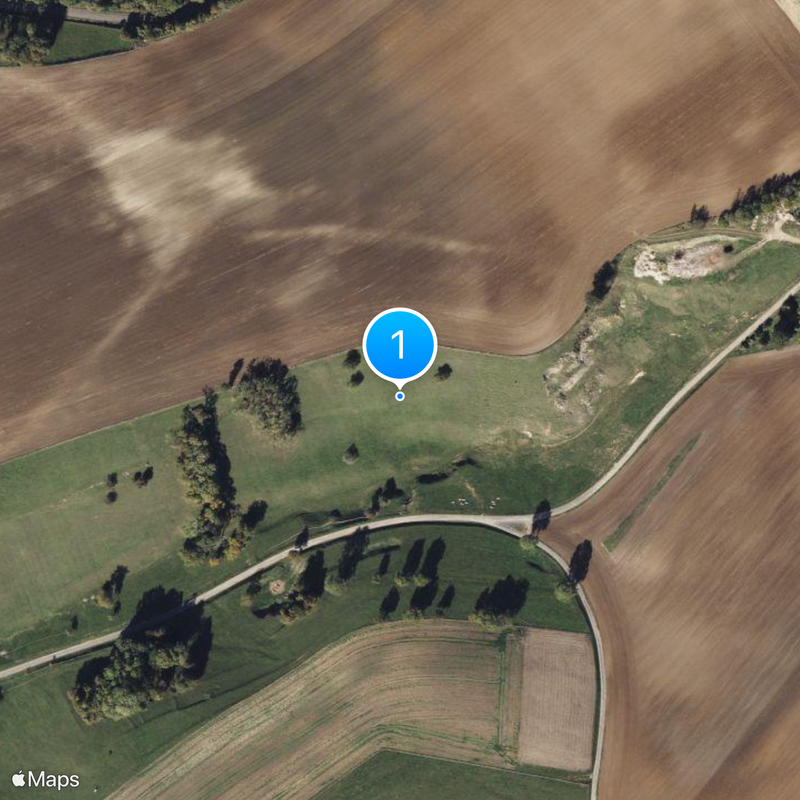
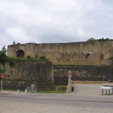
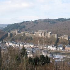
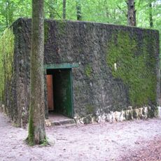
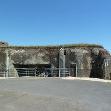
The area contains several fortification lines from different periods, including remnants of the Maginot Line, offering visitors a glimpse into early twentieth-century military architecture. These installations often lie scattered in forested areas and are easiest to locate with local knowledge.
The community of curious travelers
AroundUs brings together thousands of curated places, local tips, and hidden gems, enriched daily by 60,000 contributors worldwide.