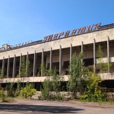
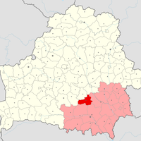
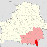
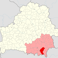
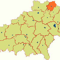
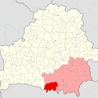
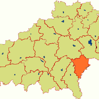
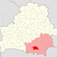
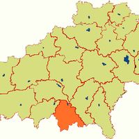
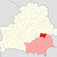
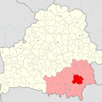
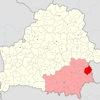
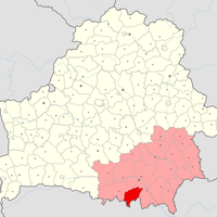
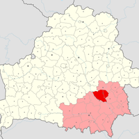
Gomel Region, Administrative region in southeastern Belarus
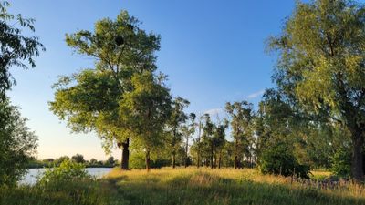
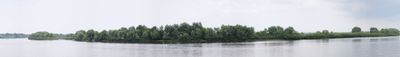
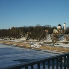
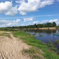
The Gomel Region stretches across southeastern Belarus and includes 21 administrative districts with extensive forest areas, several large rivers, and agricultural land. The landscape alternates between wooded zones along waterways and open plains used for crop farming and livestock.
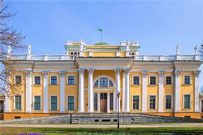
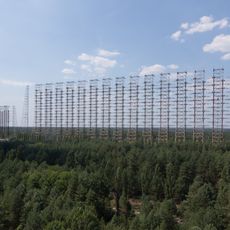
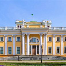
The current administrative unit was created in 1938 and developed into a center for industry and agriculture in Belarus. The Order of Lenin later recognized the economic contributions of this development.
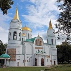
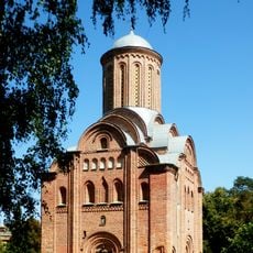
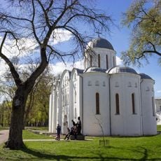
The area takes its name from the city of Homel and forms an important part of southeastern Belarusian identity. Traditional wooden architecture and folk craft techniques still shape everyday life in many rural communities.
Railway connections run through several cities and offer links toward Russia, Ukraine, and other parts of Belarus. Road networks connect the districts and provide access to rural areas and smaller towns.
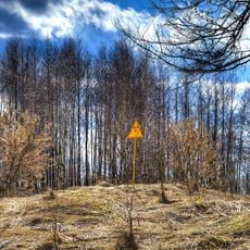
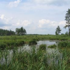
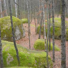
The Pripyatsky National Park area protects rare floodplain forests with old oak trees and wetlands along river courses. Eleven separate nature reserves complement this protection and provide habitat for animal species that have become rare in other parts of Europe.
Location: Belarus
Inception: January 15, 1938
Capital city: Gomel
Elevation above the sea: 130 m
Shares border with: Bryansk Oblast, Zhytomyr Oblast, Chernihiv Oblast, Kyiv Oblast, Rivne Oblast, Mogilev Region, Minsk Region, Brest Region
Website: https://gomel-region.gov.by
GPS coordinates: 52.33333,29.66667
Latest update: December 4, 2025 23:44
Chernobyl New Safe Confinement
109.2 km
Chernobyl Nuclear Power Plant sarcophagus
109.2 km
Polesie State Radioecological Reserve
79.1 km
Three Sisters
146.3 km
Transfiguration Cathedral, Chernihiv
146.7 km
Polissya Nature Reserve
139.2 km
Gomel Palace
92.3 km
Avanhard Stadium
106.1 km
Babruysk Fortress
94.1 km
Palace of Culture Energetik
106.6 km
Black Grave
146.1 km
Pyatnytska Church
146.1 km
Chernobyl Radiation and Ecological Biosphere Reserve
107.2 km
Homieĺ Palace Complex
92.3 km
Saint Anthony's Caves
146.3 km
Kamyanne Selo
163.2 km
Saints Borys and Hlib Cathedral
146.7 km
Kirill of Turov monument
92.1 km
Catherine's Church
146.7 km
Holy Trinity Cathedral
146.2 km
Monument to Children Victims of the WWII
70.5 km
Chernihiv Val
146.7 km
Yelets Monastery
146.3 km
Khram svi︠a︡toho Vasylii︠a︡
128.1 km
Kozieł-Pakleŭski manor in Krasny Bierah
70.7 km
Bulhak Palace in Žyličy
91.6 km
Cathedral of Saint Peter and Paul, Homieĺ
92.3 km
Chernihiv Stadium
146.9 kmReviews
Visited this place? Tap the stars to rate it and share your experience / photos with the community! Try now! You can cancel it anytime.
Akciabrski District
Brahin District
Buda-Kashalyova District
Chachersk District
Dobruš District
Homyel District
Kalinkavichy District
Khoiniki District
Karma District
Lyelchytsy District
Lojeŭ District
Mazyr District
Naroulia District
Pietrykaŭ District
Rahačoŭ District
Rechytsa District
Svietlahorsk District
Vietka District
Jeĺsk District
Zhlobin District
Zhytkavichy District
Discover hidden gems everywhere you go!
From secret cafés to breathtaking viewpoints, skip the crowded tourist spots and find places that match your style. Our app makes it easy with voice search, smart filtering, route optimization, and insider tips from travelers worldwide. Download now for the complete mobile experience.
A unique approach to discovering new places❞
— Le Figaro
All the places worth exploring❞
— France Info
A tailor-made excursion in just a few clicks❞
— 20 Minutes