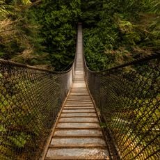
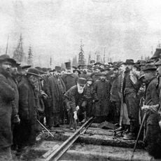
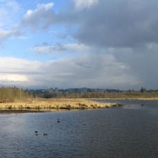
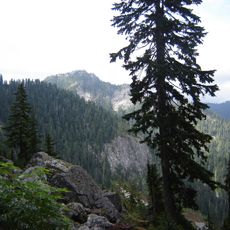
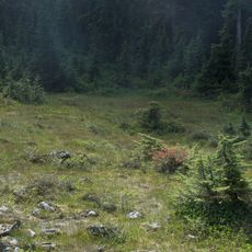
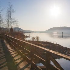
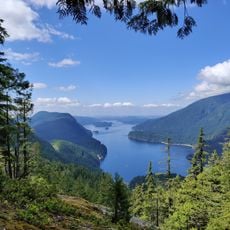
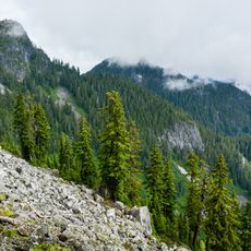
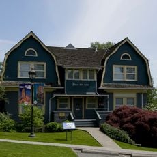
Anmore, village in British Columbia, Canada
Location: Metro Vancouver Regional District
Elevation above the sea: 180 m
Shares border with: Coquitlam, Port Moody, North Vancouver, Belcarra
Website: https://anmore.com
GPS coordinates: 49.31440,-122.85600
Latest update: April 14, 2025 09:49
Port Mann Bridge
10.9 km
Ironworkers Memorial Second Narrows Crossing
12.5 km
Lynn Canyon Park
12 km
Mount Seymour
10.9 km
Lynn Canyon Suspension Bridge
12.2 km
Last Spike
4.2 km
Burnaby Lake Regional Park
8.9 km
Second Narrows Bridge
12.5 km
Fraser International College
6.1 km
Mount Seymour Provincial Park
8.7 km
Burnaby Village Museum
11.6 km
Minnekhada Regional Park
11.6 km
Rocky Point Park
3.9 km
Coquitlam Sports Centre
6.7 km
Təmtəmíxʷtən/Belcarra Regional Park
4 km
Pinecone Burke Provincial Park
13.9 km
Percy Perry Stadium
5.9 km
Maplewood Flats Conservation Area
10.8 km
Indian Arm Provincial Park
13.6 km
Mount Elsay
11.9 km
Place des Arts
8.4 km
MThree
5.6 km
Pitt River Bridge
11.7 km
Love House
11.6 km
Anderson Residence
11.6 km
Fairacres Mansion
11.7 km
Floden House
11.2 km
Bell's Dry Goods Store
11.6 kmVisited this place? Tap the stars to rate it and share your experience / photos with the community! Try now! You can cancel it anytime.
Discover hidden gems everywhere you go!
From secret cafés to breathtaking viewpoints, skip the crowded tourist spots and find places that match your style. Our app makes it easy with voice search, smart filtering, route optimization, and insider tips from travelers worldwide. Download now for the complete mobile experience.
A unique approach to discovering new places❞
— Le Figaro
All the places worth exploring❞
— France Info
A tailor-made excursion in just a few clicks❞
— 20 Minutes