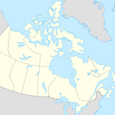
Pinecone Burke Provincial Park, Provincial park and nature reserve in British Columbia, Canada.
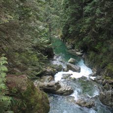
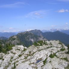
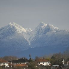
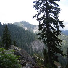
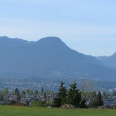
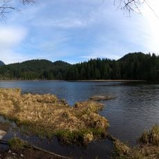
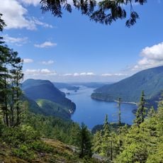
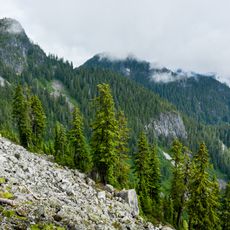
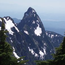
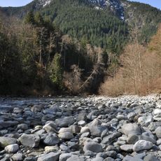
Pinecone Burke Provincial Park covers 38,000 hectares from Burke Mountain in Coquitlam to the west shore of Pitt Lake in Maple Ridge, meeting Garibaldi Provincial Park at its northern end. Its highest point is Pinecone Peak at 2,027 m, followed by Meslilloet Mountain at 1,990 m. The park holds old-growth forests, alpine lakes and remnant ice fields of the Mamquam Icefield.
The area was established as a provincial park in 1995 to protect the wilderness and its natural features. The land held great importance for the Katzie First Nations, who relied on its resources for many centuries.
The Katzie, Kwikwetlem and Stó:lō First Nations have territories overlapping the park, used for hunting and gathering for roughly 10,000 years. A memorandum of understanding between BC Parks and the Katzie First Nation, with a management plan set in fall 2014, gives Katzie practices a role in how the park is run.
The park has no tourist infrastructure and few maintained trails; official hiking routes exist only in the south, on Burke Mountain. Elsewhere, access is by rough trails such as the Fools Gold Trail in the Boise Valley, by canoe to Widgeon Slough, or along old logging roads. The northern boundary meets Garibaldi Provincial Park near Squamish.
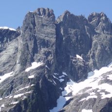
Pinecone Peak, at 2,027 m the park's highest point, lies in the Mamquam Icefield, while Meslilloet Mountain (1,990 m) is the highest summit of the Coquitlam Ranges. Remnants of resource extraction remain: old steam donkeys and mine tunnels sit in the forest, and the lower slopes of Burke Mountain were logged in the 1920s by the Robert Dollar Company using a steam railway, which led early residents to call the peak Dollar Mountain.
The community of curious travelers
AroundUs brings together thousands of curated places, local tips, and hidden gems, enriched daily by 93,138 contributors worldwide.